U.S. Onshore
We provide comprehensive coverage utilizing a unique combination of onshore seismic and well data products that deliver valuable insights for the best subsurface understanding available.

U.S. Onshore Data Coverage
Mid-continent
- 11,990 square kilometers
- Includes the Gloss Mountain 3D, Canton 3D, and Kingsberry 3D surveys in the Anadarko Basin
Utica
- 3,500 square kilometers
- High resolution, wide aperture survey
- Provides a broad overview of the central Appalachian Basin
Permian Basin
- 2,700 square kilometers
- Includes West Kermit 3D survey within the core of the Delaware Basin Wolfcamp area
Rockies Region
- 1,650 square kilometers
- Includes the Railgun 3D survey within the Powder River basin
- Processed using modern land imaging technology
Alaska - North Slope
- Kuukpik 921 square kilometers
- Aklaq 1,063 square kilometers
- CRD 130 square kilometers
Data Library
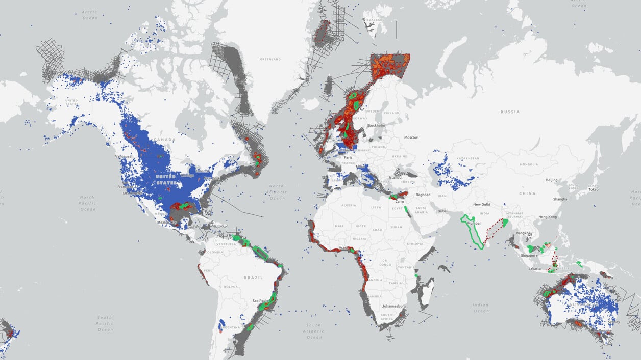
Search our interactive map portal to see the industry-leading subsurface data we offer in U.S. Onshore. View available data types, projects and deliverables in your areas of interest.

Well Data
TGS has the industry's largest well data library comprised of nearly 100 years of public and non-public sources. This data is processed, normalized, and validated to our industry-leading standards with the most up-to-date data available.
.png)

