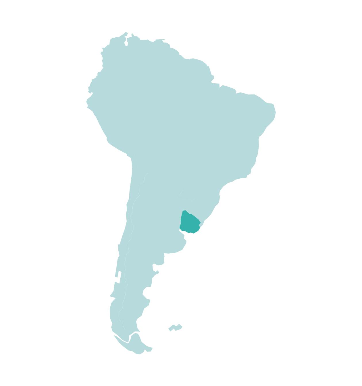
Uruguay
We provide a robust regional framework off the coast of Uruguay, one of the southern hemisphere’s most under-explored offshore regions. Our comprehensive coverage includes seismic and well data, providing you with the insights needed to support the future of exploration success Offshore Uruguay.

Our Data Coverage
Tannat 3D Repro
- 25,000 km² of reprocessed data
- A contiguous, seamlessly merged 3D data using vintage volumes in slope and deep water setting
- Regionally integrated and reprocessed using advanced imaging techniques
- Hosts a library of lead and prospects in the slope and deep water positions
UruguaySPAN
- ~2,800 km of high quality data
- Depth imaged to 40 kilometers
- PSDM and PSTM available
- Regional framework survey provides the basis for a more accurate understanding of the regional geology, plate boundaries and basin architecture
Uruguay 2D
- 10,415 km
- Provide a seismic dataset across the Punta del Este and Pelotas Basins while tying to existing Argentina and Brazil surveys
- Captures the limits of the play fairways in offshore Uruguay and images deep water units to develop new play ideas
Uruguay 2D Repro
- ~10,200 km of tight-grid, legacy data
- Ties and transects key structural and depositional features and important wells
- Improves understanding of the distribution of Early Cretaceous source rocks and reservoirs
Data Library
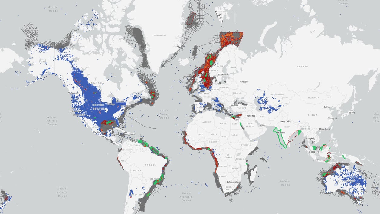
Search our interactive map portal to see the industry-leading subsurface data we offer in Uruguay. View available data types, projects and deliverables in your areas of interest.

Well Data
TGS has the industry's largest well data library comprised of nearly 100 years of public and non-public sources. This data is processed, normalized, and validated to our industry-leading standards with the most up-to-date data available.
.png)
Other Subregions
-
Mexican GoM
-
Argentina
-
Suriname
-
Brazil
Mexican GoM
Mexican GoM
Our offerings in the Mexican GoM market are designed to create a comprehensive set of products that facilitate understanding of the entire Gulf of Mexico basin. The Gigante survey provides a regional seismic grid with consistent acquisition and processing parameters that into U.S. GOM data, gravity & magnetic studies, structural interpretations, and evaluation of prospective areas through bathymetry and geochemical analyses from seafloor core targets.
Argentina
Argentina
Offshore Argentina currently presents some of the world's most promising exploration opportunities. We offer exploration programs designed to provide geological insights, including regional 2D seismic, basin-wide 3D seismic, well data, interpretive products and more.
Suriname
Suriname
Recent oil and gas discoveries in offshore Suriname are furthering this world-class basin's exploration and appraisal strategies. Our seismic library offers 2D and 3D data coverage that ties to key exploration wells, providing valuable insights to evaluate offshore acreage.
Brazil
Brazil
Our exploration programs in Brazil are most often built around basin-specific licensing rounds and are designed to provide regional geological understanding to de-risk prospective bids. Our library of modern, long-offset data, available in both time (PSTM) and depth (PSDM), comprises the largest and most comprehensive high-quality dataset offshore Brazil.

