Mexican GOM
Our offerings in the Mexican GoM market are designed to create a comprehensive set of products that facilitate understanding of the entire Gulf of Mexico basin. The Gigante survey provides a regional seismic grid with consistent acquisition and processing parameters that into U.S. GOM data, gravity & magnetic studies, structural interpretations, and evaluation of prospective areas through use of bathymetry and geochemical analyses from seafloor core targets.

Our Data Coverage
Gigante 2D
- 188,490 km survey was acquired utilizing 5 vessels and consists of 12,000 m offsets dataset
- Most comprehensive and continuous Offshore Mexico dataset available
- Covers the vast offshore sector of Mexico, including world class producing trends such as the Perdido fold belt and Campeche Bay
- Data was consistently acquired and processed, and is complimented by high quality structural interpretation, multibeam and geochemistry study
- Processing deliverables include: Fast Track PSTM, Final PSTM, Final KPSDM/RTM
Mexico Multibeam
- Acquisition of multibeam data, coring and geochemical analysis data over an area of approximately 622,857 square kilometers in Mexican waters
- Project covers the entire deep-water area of the offshore sector of Mexico, including world class producing trends such as the Perdido Fold Belt and Campeche Bay
- Deliverables include raw multibeam and backscatter data, processed bathymetry data, raw sub-bottom profiler data, ArcGIS project with multibeam bathymetry and backscatter, water Column Data, acquisition and a comprehensive processing report
Mexico Geochemistry
- Conducted by TDI Brooks
- A total of 906 conventional 6-meter cores were collected along with 100 20 meter Jumbo Piston Cores and 100 Heat Flow measurements
- Main Deliverables include: Final Geochemistry Report, Final Heat Flow Report, Biostratigraphy and Sedimentation Rate Report, Jumbo Piston Core data report
Data Library
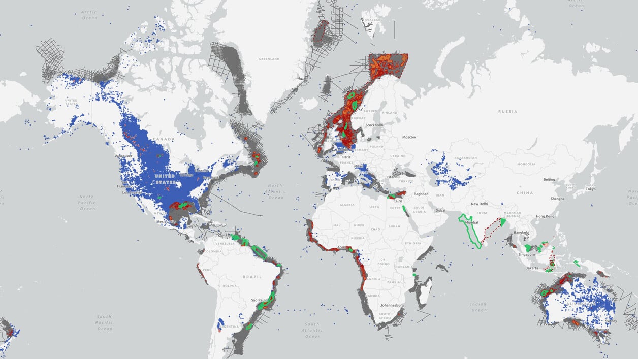
Search our interactive map portal to see the industry-leading subsurface data we offer in the Mexican Gulf of Mexico. View available data types, projects and deliverables in your areas of interest.

Well Data
TGS has the industry's largest well data library comprised of nearly 100 years of public and non-public sources. This data is processed, normalized, and validated to our industry-leading standards with the most up-to-date data available.
.png)
Other Subregions
-
Brazil
-
Argentina
-
Suriname
-
Uruguay
Brazil
Brazil
Brazil's exploration programs are often built around basin-specific licensing rounds and are designed to provide regional geological understanding to de-risk prospective bids. Our library of modern, long-offset data, available in both time (PSTM) and depth (PSDM), comprises the largest and most comprehensive high-quality dataset offshore Brazil.
Argentina
Argentina
Offshore Argentina currently presents some of the world's most promising exploration opportunities. We offer exploration programs designed to provide geological insights, including regional 2D seismic, basin-wide 3D seismic, well data, interpretive products and more.
Suriname
Suriname
Recent oil and gas discoveries in offshore Suriname are furthering the exploration and appraisal strategies in this world-class basin. Our seismic library offers 2D and 3D data coverage that tie to key exploration wells, providing valuable insights to evaluate offshore acreage.
Uruguay
Uruguay
We provide a robust regional framework off the coast of Uruguay, one of the southern hemisphere’s most under-explored offshore regions. Our comprehensive coverage includes seismic and well data, providing you with the insights needed to support the future of exploration success Offshore Uruguay.

