North Sea
TGS has more than 40 years of experience in seismic data acquisition and processing in the North Sea. Since its first 2D survey in 1981, it has built the industry's largest portfolio of modern regional 2D and 3D coverage. Multi-client data has played a key role in exploration success, while advancements in acquisition and processing technologies have further enhanced imaging, interpretation and discovery rates across the region.
Advanced Seismic Solutions for Exploration and Development
TGS leads seismic innovation in the North Sea, advancing oil and gas exploration with cutting-edge technologies and multi-client data. As a mature hydrocarbon basin, the North Sea still offers significant opportunities, but precision imaging is crucial for infrastructure-led exploration. TGS addresses this with GeoStreamer, GeoStreamer X, and Ocean Bottom Node (OBN) surveys, providing critical insights to unlock regional value. With a legacy of high-quality seismic data, TGS helps energy companies make informed decisions, transforming imaging and optimizing development strategies.

A Technology Playground
TGS continues to drive seismic innovation in the North Sea with pioneering acquisition and imaging technologies, including Ramform vessels, GeoStreamer, GeoStreamer X, ocean bottom nodes (OBN) and P-Cable/XHR. These solutions deliver high-resolution, customized subsurface data for business needs such as wind farms, carbon capture and storage (CCS), hydrocarbon exploration, well planning, field development, and 4D monitoring.
The North Sea is maturing in hydrocarbon exploration, field development, production, and decommissioning, while CCS and offshore wind projects are in the early stages. TGS designs tailored acquisition solutions to support business needs across the Norwegian continental shelf. TGS provides ultra-high-resolution (UHR) P-Cable and XHR technologies for seabed mapping, site surveys and shallow targets. For deeper targets, such as CCS projects and conventional oil and gas exploration, GeoStreamer and OBN technology offer superior imaging.
GeoStreamer revolutionized seismic imaging with multi-sensor broadband data, improving deghosting and resolution. Since its launch in 2011, it has enhanced lead and prospect identification by reducing noise and increasing data clarity. In 2019, GeoStreamer X expanded its capabilities with a multi-azimuth solution, integrating new and legacy data for more detailed seismic images. Its initial Viking Graben project significantly improved complex target imaging, increasing exploration confidence. Since then, TGS has expanded the GeoStreamer X library to six projects across the Norwegian and UK continental shelves.
Between 2018 and 2019, TGS conducted the world’s largest multi-client OBN survey, Utsira OBN (a joint venture with AGS). This survey delivered densely sampled, full-azimuth, and ultra-long offset data, advancing near-field exploration in the mature North Sea basin. OBN technology has transformed subsurface imaging by overcoming complex geological challenges. With the full-azimuth acquisition, geologists can illuminate structures from all directions, improving the interpretation of subsurface variations. OBN also enhances the signal-to-noise ratio and helps distinguish structural formations from attribute anomalies.
OBN can provide an improved signal-to-noise ratio and enhanced abilities to distinguish between structure and attribute anomalies. Other advantages include ultra-long offsets, measurement of the full wavefield, and measurement of both P- and S-waves for better characterization of fluids in a reservoir. With its commitment to technological excellence, TGS continues to expand seismic imaging capabilities, delivering high-quality subsurface insights to operators across the North Sea.
Imaging
The North Sea's unique geology is characterized by its complex tectonic history, which presents numerous challenges for seismic imaging. Shallow subsurface features such as tunnel valleys, glacial channels and gas pockets require high-resolution velocity models for precise characterization of deeper targets. Traditional seismic surveys often encounter migration undesired effects due to poor illumination and unresolved overburden velocity, resulting in multiples and artifacts in the final image. Additionally, the presence of heterogeneous depositional layers, hard sea floors, sand injectites and complex ooze bodies generates significant noise and scattering, making velocity model building and accurate subsurface imaging particularly challenging.
To address these, TGS has combined advanced acquisition solutions such as Ocean Bottom Node (OBN) surveys and multi-azimuth, multi-sensor 3D seismic, GeoStreamer X, to provide high-density, high-fidelity data for enhancing subsurface illumination and resolution. TGS also applies proprietary imaging techniques, including cutting-edge broadband processing, deblending and demultiple techniques, Dynamic Matching (DM FWI), and Multi-Parameter Full Waveform Inversion (MP FWI) workflows for high-resolution velocity model building and high-end imaging. These efforts have led to improved characterization of complex geological features, facilitating more accurate geological interpretations and reservoir assessment.


Exploring North Sea Geology
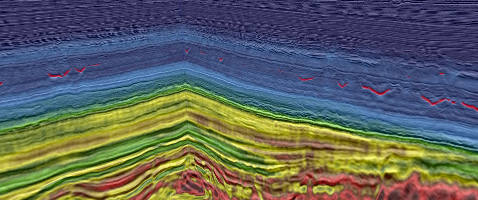
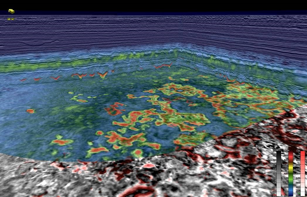
Over the last decades several smaller to large discoveries have been made in the prolific and ever-maturing North Sea Basin. Key plays within the Paleogene and Jurassic have been exploited for years and continues to be, through the advances within seismic processing and acquisition geometries of OBN and GeoStreamer. Play concepts within this region, both new and old, are continuously revisited on new data. As the technology advances, new play concepts emerge which are tested and valuable insight is gained while industry focus continuous on high quality seismic images, through increased data density and illumination, improved signal to noise ratio. The high-quality imaging reveal subtleties in the seismic crucial for the basin development understanding down to morphological succession and its hydrocarbon plays.
North Sea Data Highlights
TGS offers a wide range of multi-client seismic data products for the North Sea including:
Ocean Bottom Node (OBN) Surveys:
- Utsira OBN: 2,076 km²
- NOAKA OBN: 434 km²
- Sleipner OBN: 1,204 km²
- Heimdal Terrace OBN: 433 km²
GeoStreamer X (Multi-azimuth, multi-sensor 3D):
- Over 20,000 km² designed to resolve the imaging challenges present in the Viking Graben and reveal remaining potential.
GeoStreamer (Multi-sensor 3D):
- Over 91,000 km² of high-end broadband GeoStreamer seismic data across the North Sea.
MegaSurveys:
- Vision: Southern North Sea (SNS): 12,500 km (basin scale merge with FWI)
- MegaSurveys (North Sea and Southern North Sea): over 200,000 km²
- MegaSurveyPlus: Central North Sea: 23,650 km²
- MegaSurveyPlus: Southern North Sea: 5,019 km²
Additional products:
- Conventional 3D seismic, rockAVO (well and rock physics models), Aero/Marine gravity and magnetics, well data, Facies Map Browser (FMB).

Additional Insights
The North Sea and West of Shetlands: Evolution of Prolific Hydrocarbon Basins
TGS experts present an overview of the North Sea's exploration state and seismic needs and contrast them with those of the West of Shetlands.
Benefits of Using Dense OBN for Exploration: Utsira example using AI and ML
Article on the Utsira OBN survey in the South Viking Graben, where ocean bottom node data combined with AI and machine learning has enhanced subsurface imaging and exploration.
Seismic Acquisition and Processing: The Technology Race
Exploring advancements in seismic acquisition, with an emphasis on Ocean Bottom Nodes (OBN) and innovative source techniques to improve subsurface imaging and more accurately interpret geological data.
Speak to a Specialist
Interested in a product demo or trial? Let us know your needs and we’ll connect you to the right person or team.
Book a Data Viewing
Want to see the latest seismic data solutions and imaging technologies in your region of interest or for the next license round? Book a data viewing with one of our experts.
Discuss Your Seismic Data Needs
Every need is different and we'd like the opportunity to discuss yours further. Speak to one of our data or geoscience experts to customize seismic solutions specific to your requirements.

