North Sea
The North Sea has been the center of many dramatic seismic advances over the years. TGS continues to innovate in the area with the world’s largest contiguous dense Ocean Bottom Node OBN dataset, providing the most detailed subsurface imaging on a grand scale.

Data Coverage in the North Sea
Utsira OBN
- World's first large-scale densely sampled Ocean Bottom Node (OBN) survey
- 2,076 km2 area under receivers (AUR)
- Artificial Intelligence (AI) geological interpretation
- Imaged using Dynamic Matching FWI (DM FWI) technology
- Pre-Stack Depth Migrated (PSDM)
NOAKA OBN
- Ocean Bottom Node (OBN) seismic survey
- Over 434 km2 area under receivers (AUR)
- Located between Oseberg and Alvheim in the Norwegian North Sea
- Imaged using Dynamic Matching FWI (DM FWI) technology
- Covers the Yggdrasil (formerly NOAKA) field Pre-Stack Depth Migrated (PSDM)
Sleipner OBN
- Ocean Bottom Node (OBN) seismic survey
- 1,201 km2 area under receivers (AUR)
- Total contiguous multi-client OBN coverage in the region to 3,278 square kilometers AUR
- Encompasses the Sleipner East, Sleipner West, Gina Krog, Volve and Utgard fields
- Final deliverables due Q3 2024
Heimdal Terrace OBN
- Ocean Bottom Node (OBN) seismic survey
- 426 km2 area under receivers (AUR)
- Total contiguous multi-client OBN coverage in the region to 3,278 square kilometers AUR
- Covers the Balder and Ringhorne fields
- Spans the King/Prince, Enniberg and part of the Evra/Iving discoveries
- Final deliverables due Q2 2024
Mid-North Sea High (MNSH) 3D
- 12,167 km2 multi-client 3D seismic data
- Enhanced imaging of Zechstein and Carboniferous plays on the southern MNSH region.
- Pre-Stack Depth Migrated (PSDM)
Cornerstone OBN
- 1,650 km2 of high-density Ocean Bottom Node (OBN) seismic data
- Covers Central Graben HPHT province, covering Marnock, Murlach, Mungo, Monan, and Mirren fields
- Unprecedented data quality to de-risk field developments and near-field exploration
Catcher 3D
- 3,500 km2 multi-client multi-client 3D seismic reprocessing
- Greater Catcher area covering Quads 21, 28, and 29.
- Acquired in 2011 and 2012, the original data is reprocessed through a fully comprehensive broadband PSTM processing flow.
- Newly-enhanced data and interpretative QI output provide enhanced insight into Infrastructure-Led Exploration (ILX) opportunities in the area
CFI Moray Firth 3D
- 5,949 km2 Clari-fi broadband reprocessed
- 6 survey merge to a single PSTM volume
- Covers proven hydrocarbon province and CCS-depleted field targets in Moray Firth
Greater Ravenspurn 3D
- 3,185 km2 PSTM 3D volume
- Acquired in two phases (West Ravenspurn and Q43 Greater Ravenspurn)
- Covers producing fields and a number of undeveloped and unappraised discoveries close to existing infrastructure.
Data Library
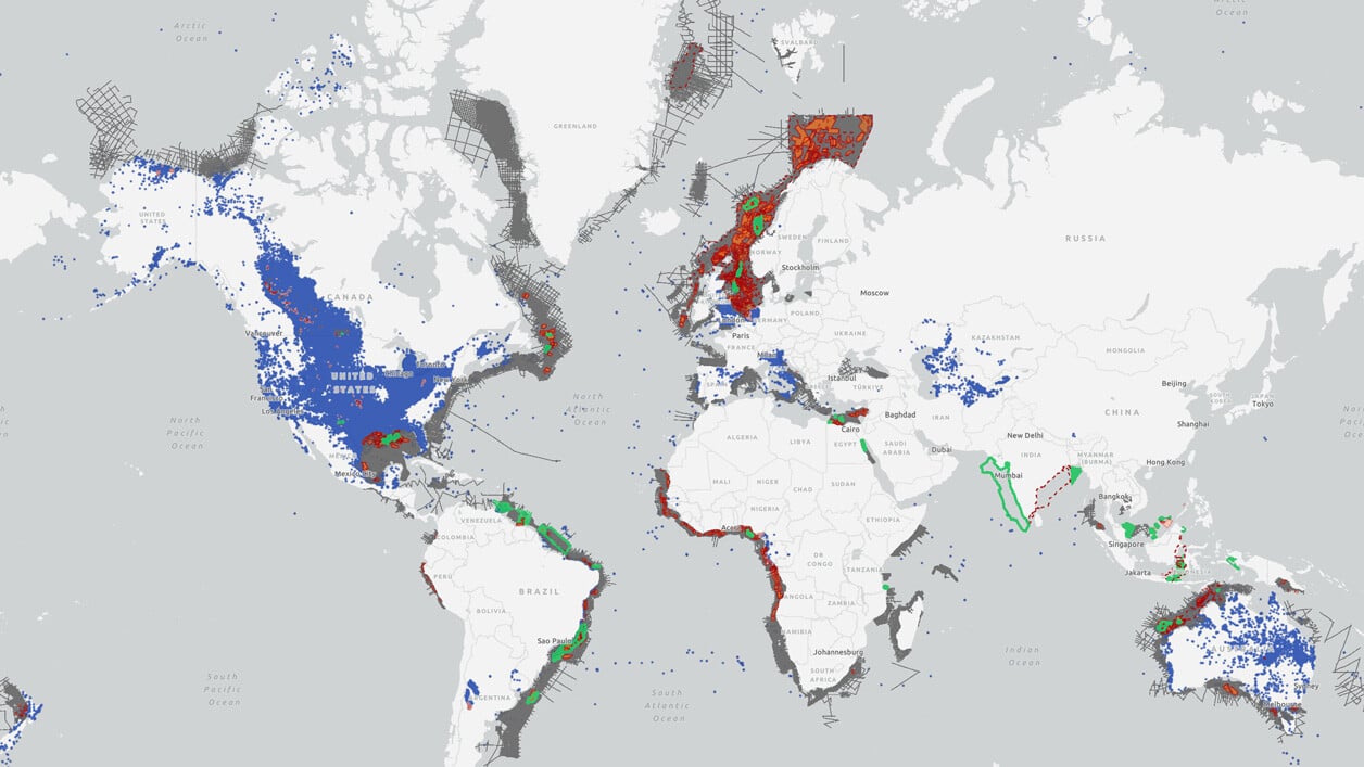
Search our interactive map portal to see the industry-leading subsurface data we offer in the North Sea. View available data types, projects and deliverables in your areas of interest.

Other Sub-Regions
-
Barents Sea
-
Norwegian Sea
-
West of Shetlands
-
Greenland
Barents Sea
Barents Sea
TGS has more than 35 years of experience delivering seismic data in the Barents Sea and led the way in frontier exploration, resulting in significant discoveries, such as the Wisting Field in the Hoop Fault Complex.
Our modern 3D data coverage includes new acquisition and processing technologies such as P-Cable, TopSeis, Electromagnetic, and seep analysis.
Norwegian Sea
Norwegian Sea
TGS has led the way in seismic exploration in the Norwegian sea, particularly along the Atlantic Margin. Since 2017 TGS has acquired around 60,000 km2 of high-quality 3D data in the underexplored Møre and Vøring basins.
TGS is a world leader in developing techniques for better imaging of the volcanic basins and intra- and sub-basalt targets through our Sub-basalt Imaging Research (SIR) project and AM20 Laboratory.
West of Shetlands
West of Shetlands
West of Shetland has recently become the center of exploration and development on the UK Continental Shelf (UKCS) and, by 2025, is expected to contribute significant UKCS production.
Greenland
Greenland
Since the 1990’s TGS has worked with government authorities to promote this region. In 2007 the focus shifted towards Northeast Greenland and culminated in the Multi-Year acquisition programs on behalf of the licensed operators.
The area is highly relevant for understanding the Norwegian margin. Excellent source and reservoir rocks can be used as analogues for offshore observations.

