SW Barents


Why SW Barents?
The gas shortage across Europe has led Norway to boost existing production and re-evaluate its gas-rich frontiers. Several natural hydrocarbon seepages have confirmed a working petroleum system within the newly proposed APA area on the SW Barents margin. Based on improved modern 3D seismic coverage, it is now possible to better understand the petroleum potential of the SW Barents Sea marginal basins.
- Active petroleum system with active mud volcanoes, hydrocarbon discoveries and numerous untested seismic features
- Sand deposits in the Paleogene interpreted to be sourced from the Stappen High
- The West Barents Sea differs from the Barents Sea in terms of uplift, source rocks, and reservoirs.
Data Library
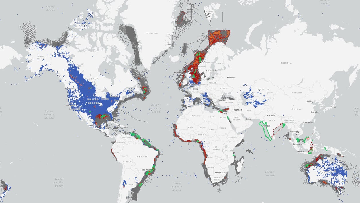
Search our interactive map portal to see the industry-leading subsurface data we offer in SW Barents. View available data types, projects and deliverables in your areas of interest.

Our Data
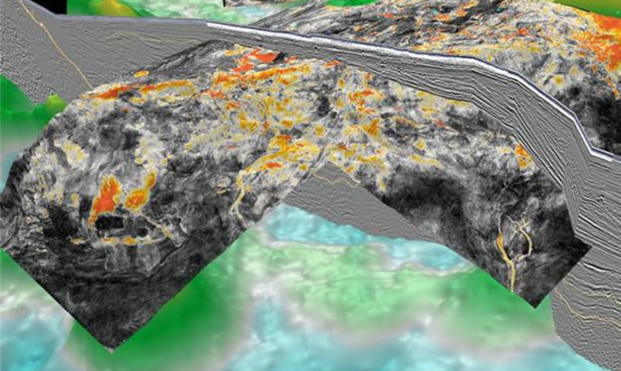
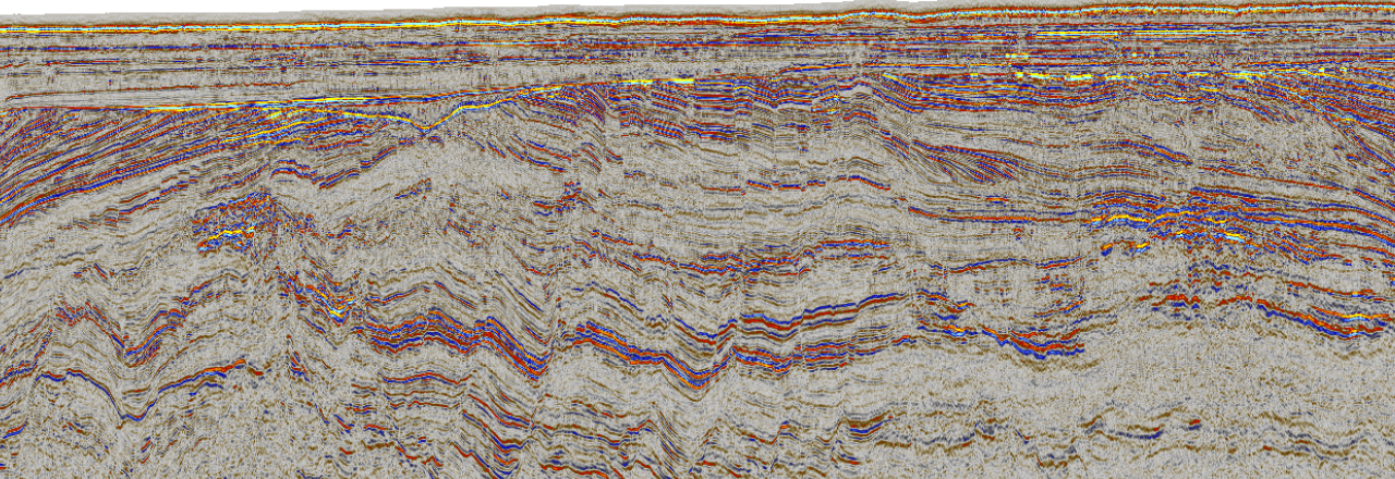
TGS offers over 14,150 km2 of 3D multi-client seismic data processed in 2017, encompassing the Stappen High, Sørvestnaget Basin, and the Bjørnøya Basin. Data coverage includes the Pingvin Upper Cretaceous/Paleocene gas discovery in the Bjørnøya Basin near the Johan Castberg development to the East. This high-quality seismic data provides the opportunity to understand the pull-apart basins from Veslemøy High to Stappen and areas included in current and future APA rounds.

Speak to a Specialist
Interested in a product demo or trial? Let us know your needs and we’ll connect you to the right person or team.
Book a Data Viewing
Want to see the latest seismic data solutions and imaging technologies in your region of interest or for the next license round? Book a data viewing with one of our experts.
Discuss Your Seismic Data Needs
Every need is different and we'd like the opportunity to discuss yours further. Speak to one of our data or geoscience experts to customize seismic solutions specific to your requirements.

