Europe
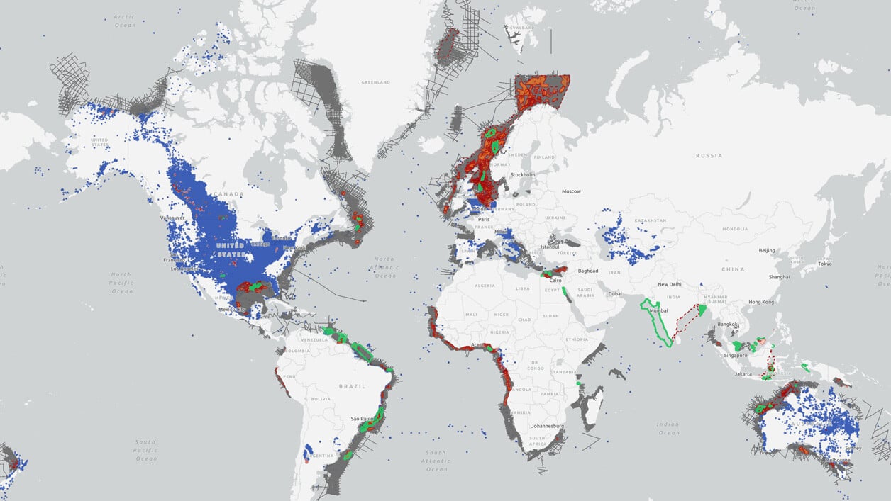
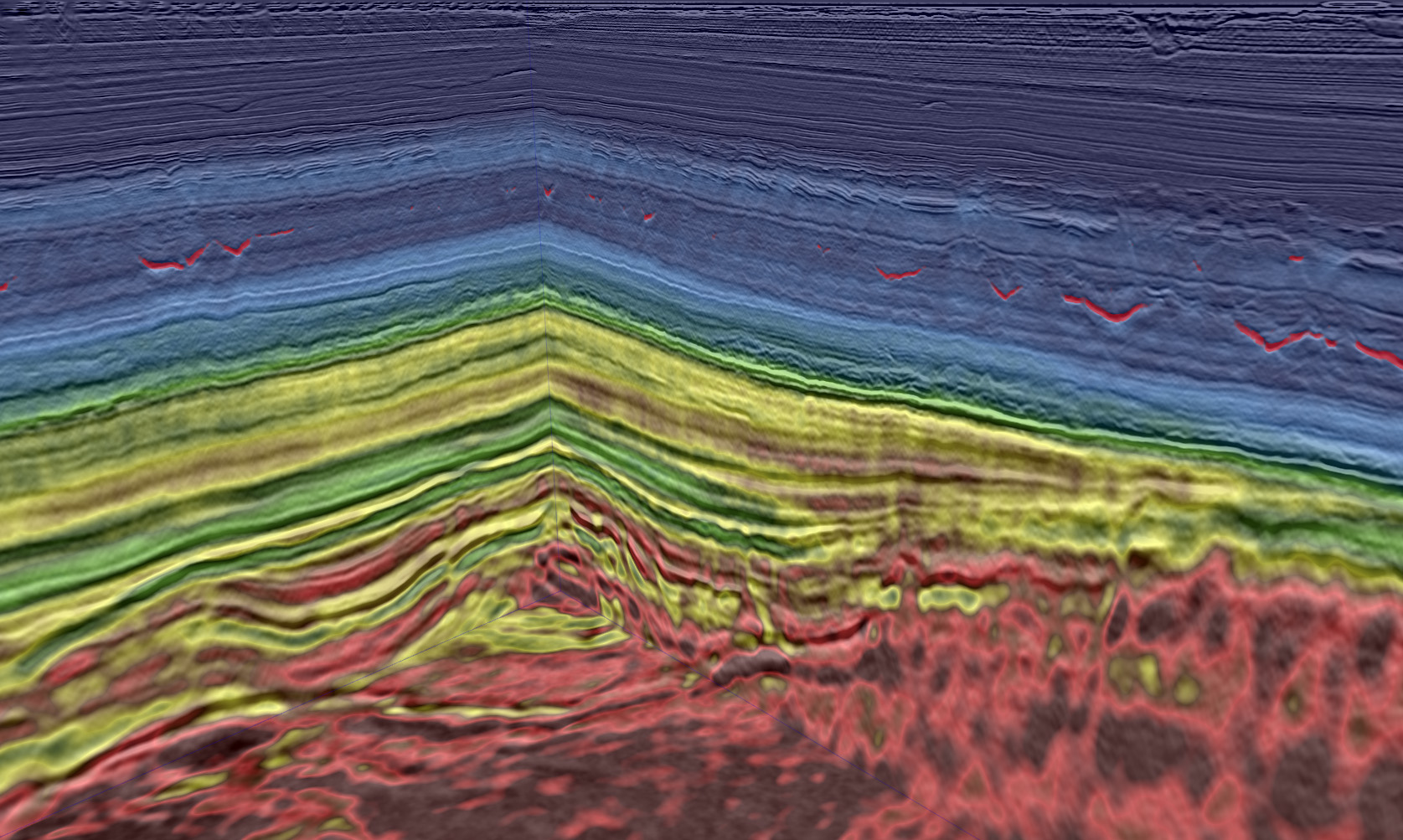
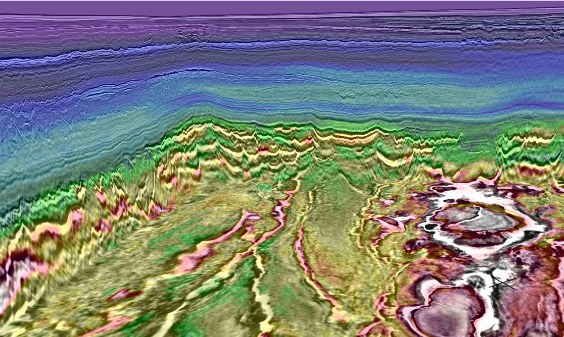
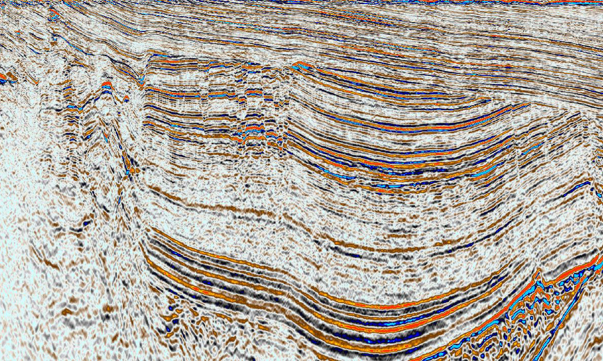
TGS holds the most extensive portfolio of geophysical and geological data in Europe including the world’s largest contiguous dense OBN seismic dataset, extensive modern 3D data, regional long-offset 2D coverage, and P-Cable data. We also offer the largest well database, a regional facies maps browser (FMB), seafloor sampling and extensive electromagnetic data.
From frontier to ILX, our wide range of data types will help you make the best investment decisions and provide key insights to upcoming license rounds.
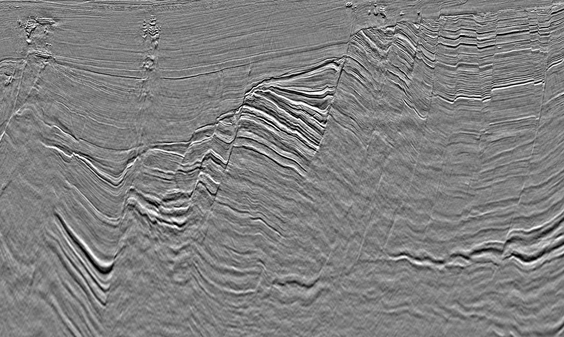
Barents Sea
Learn more about the data offerings and insights we have in the Barents Sea including Greater Castberg, Hammerfest Basin and Hoop.
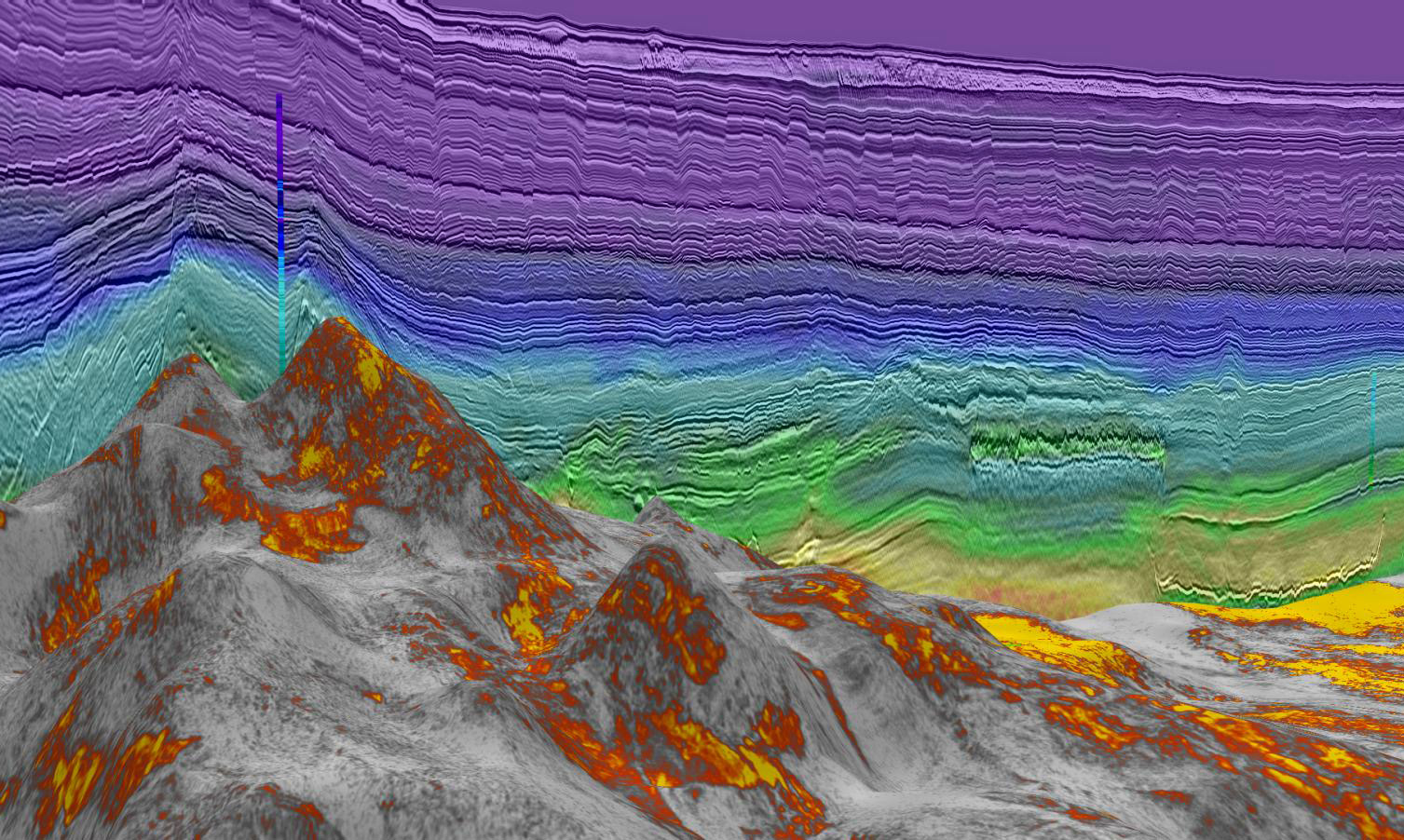
Norwegian Sea
Learn more about the data offerings and insights we have in the Norwegian Sea, including Atlantic Margin and Sub-basalt imaging.
Data Library
Search our interactive map portal to see the industry-leading subsurface data we offer in Europe. View available data types, projects and deliverables in your areas of interest.
