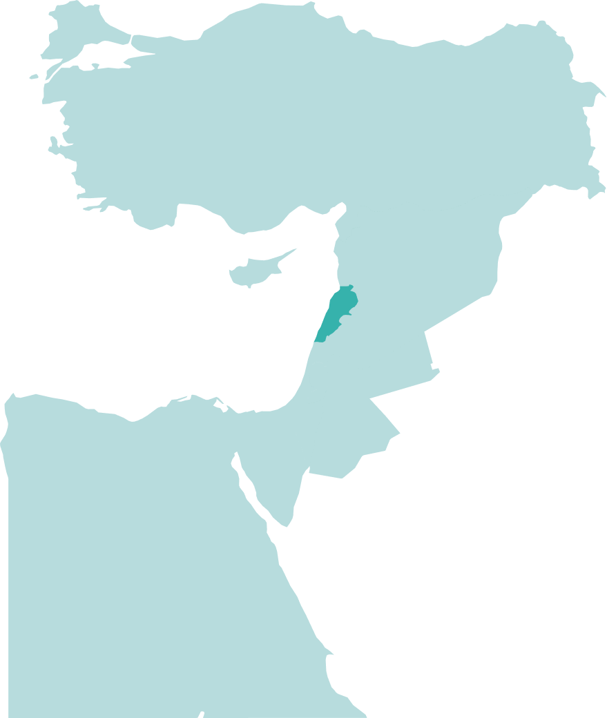
Why Lebanon?
Lebanon's 3rd Licensing Round
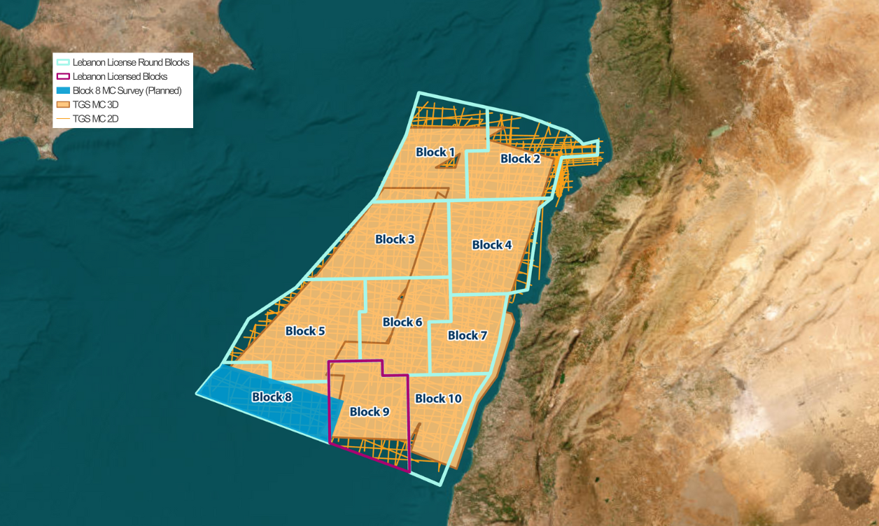
Lebanon's 3rd Licensing Round presents significant opportunities for hydrocarbon exploration, with nine out of ten offshore blocks available for bidding.
The region is particularly promising due to gas discoveries in analogous plays nearby, indicating the presence of a working petroleum system.
Additionally, there is potential for an oil-prone margin, further enhancing the attractiveness of the area. TGS is pleased to be the official data provider for the 3rd licensing round.
Data Library
Search our interactive map portal to see the industry-leading subsurface data we offer in Lebanon. View available data types, projects and deliverables in your areas of interest.
Our Data
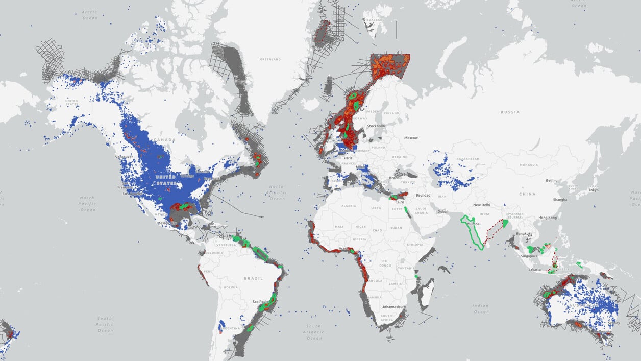
Extensive seismic data is available to support exploration efforts, including approximately 15,000 square kilometers of 3D seismic data provided in two volumes, which are set to be merged into a single, comprehensive dataset.
Over 20,000 kilometers of modern 2D seismic data, consisting of both broadband and conventional acquisitions, further enrich the geological understanding of the basin. Moreover, additional 3D seismic data acquisition is planned for Block 8, demonstrating ongoing efforts to enhance subsurface imaging and de-risk exploration prospects.
Lebanon's Potential
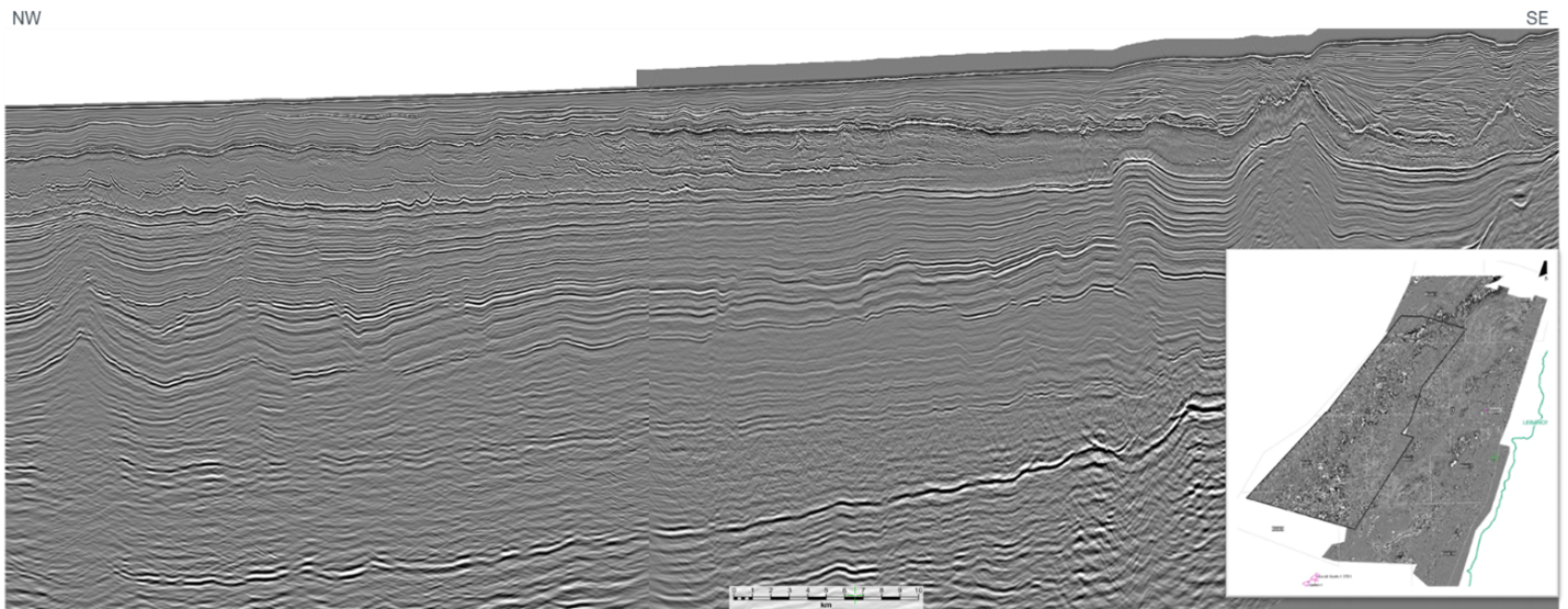
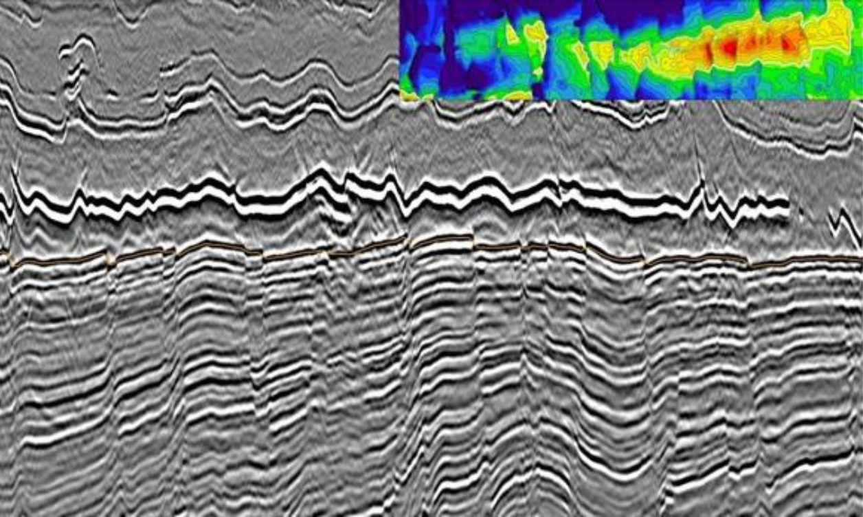
Beyond the Miocene section, Late Miocene clastic reservoirs remain prospective, particularly beneath the Messinian salt, where sealing conditions may have preserved hydrocarbons. The Levantine Basin continues to be a proven gas province with increasing evidence for oil-prone plays. Oil-generative source rocks are identified in both outcrops and offshore wells. Seismic characteristics consistent with organic-rich shales are also identified and can be mapped across the basin.
Despite limited drilling activity, with only two wells completed to date, ongoing seismic analysis and depth-migrated data reveal multiple untested structural closures of considerable size. The integration of new research supports the presence of all essential elements of a working petroleum system, underscoring the untapped hydrocarbon potential of the region
Speak to a Specialist
Interested in a product demo or trial? Let us know your needs and we’ll connect you to the right person or team.
Book a Data Viewing
Want to see the latest seismic data solutions and imaging technologies in your region of interest or for the next license round? Book a data viewing with one of our experts.
Discuss Your Seismic Data Needs
Every need is different and we'd like the opportunity to discuss yours further. Speak to one of our data or geoscience experts to customize seismic solutions specific to your requirements.


