Why Madagascar?
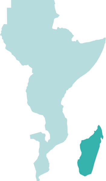
Recent East African offshore exploration success has focused the oil industry’s spotlight on the African east coast region (Kenya, Mozambique, and Tanzania). However, Madagascar remains very much under-explored and is still a frontier exploration province.
Data Library
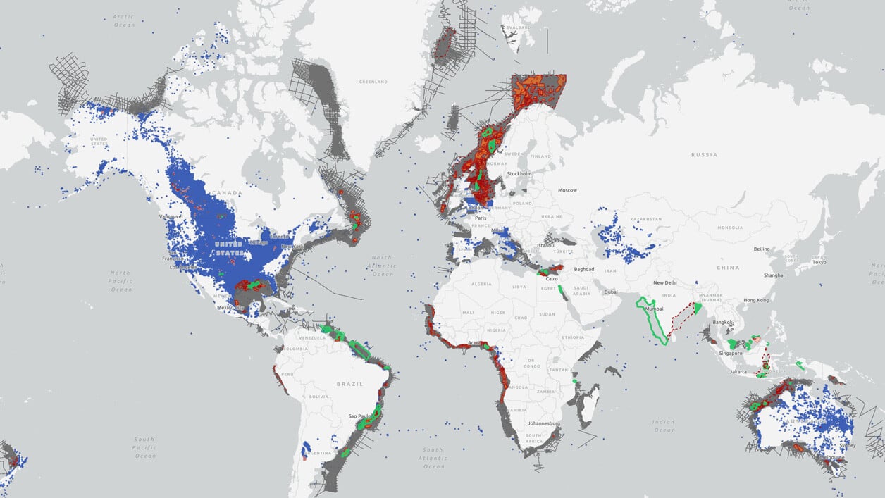
Search our interactive map portal to see the industry-leading subsurface data we offer in Madagascar. View available data types, projects and deliverables in your areas of interest.
Our Data
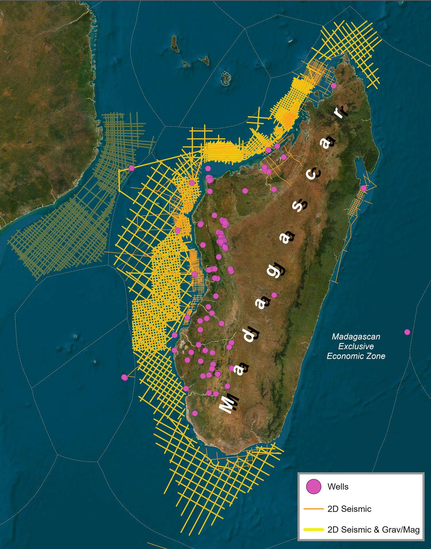
TGS holds a significant collection of subsurface data offshore Madagascar which includes 2D seismic, gravity and Magnetics in addition to well data.
TGS has signed an agreement with the Madagascan agency OMNIS (Office des Mines Nationales et des Industries Stratégiques) granting the company exclusive brokerage and reprocessing rights to the vast majority of seismic data situated both offshore and onshore Madagascar. The data available, totaling up to 69,000 km, will play a part in the country’s highly-anticipated license round.
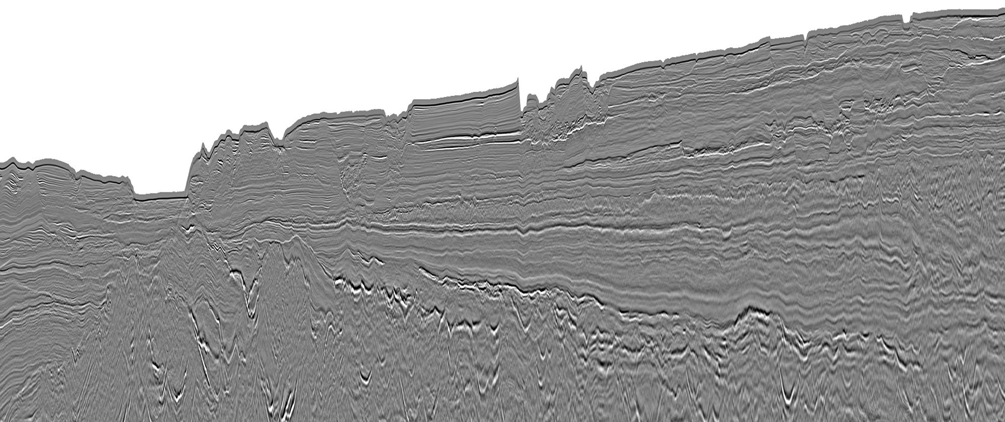
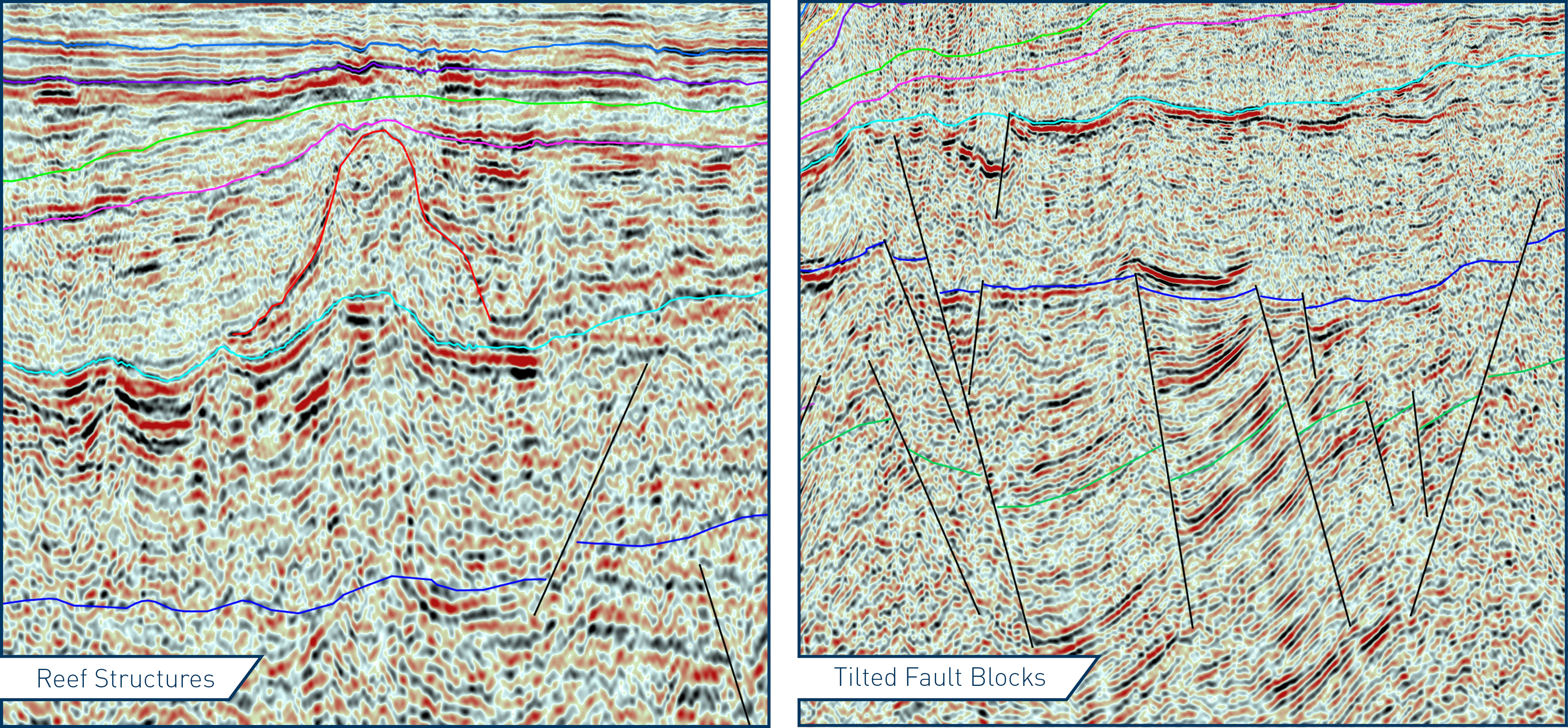
The comprehensive collection of TGS seismic data encompasses most of the existing exploration blocks in all major offshore basins including the Morondava Basin, offshore west Madagascar, where the company's modern 2D program highlights significant potential for future discoveries.
TGS has compiled logs and reports for exploration wells in various locations, including Madagascar's shallow offshore and onshore Morondava Basin.
Geological Insight and Exploration History
After over 100 years of exploration, the offshore of this frontier region remains largely under-explored. Super-giant exhumed bitumen/tar sand fields of Late Triassic – Liassic age have been discovered onshore Madagascar at Tsimioro and Bemolanga and these two fields have been reported to contain up to 6.5 billion bbls of oil. This working petroleum system can be extrapolated offshore.
Ninety-eight wells have been drilled, and eight are offshore in shallow water. Of those, most encountered gas shows and half (all in the Morondava basin) drilled volcanic structures, yet to be tested. Onshore discoveries include the giant Tsimiroro and the Bemolanga fields, both located around 100 km from the west coast, with oil shows common in the onshore wells of the Morondava and Majunga Basins.
- Gas shows have been encountered in 3 offshore wells within the Morondava Basin
- There are two heavy oil fields, the giant Tsimiroro and the Bemolanga, situated roughly adjacent to the shelf and ~ 100km onshore
- Oil and gas shows have been reported in wells throughout the length of the onshore part of the Morondava Basin
- The onshore heavy oil fields are sourced from the Triassic Sakamena Formation, while further source rock potential exists throughout the Upper and Lower Cretaceous and the Upper and Middle Jurassic. This is revealed by TOC wt% values detected in Saronanala-1 throughout the Cretaceous and Jurassic intervals. The well sits < 45km onshore in the middle of the Morondava Basin.
- Oil samples from seabed coring have shown evidence of thermogenic hydrocarbons, and multiple oil seeps have been reported offshore Morondava Basin.
Morondava Shelf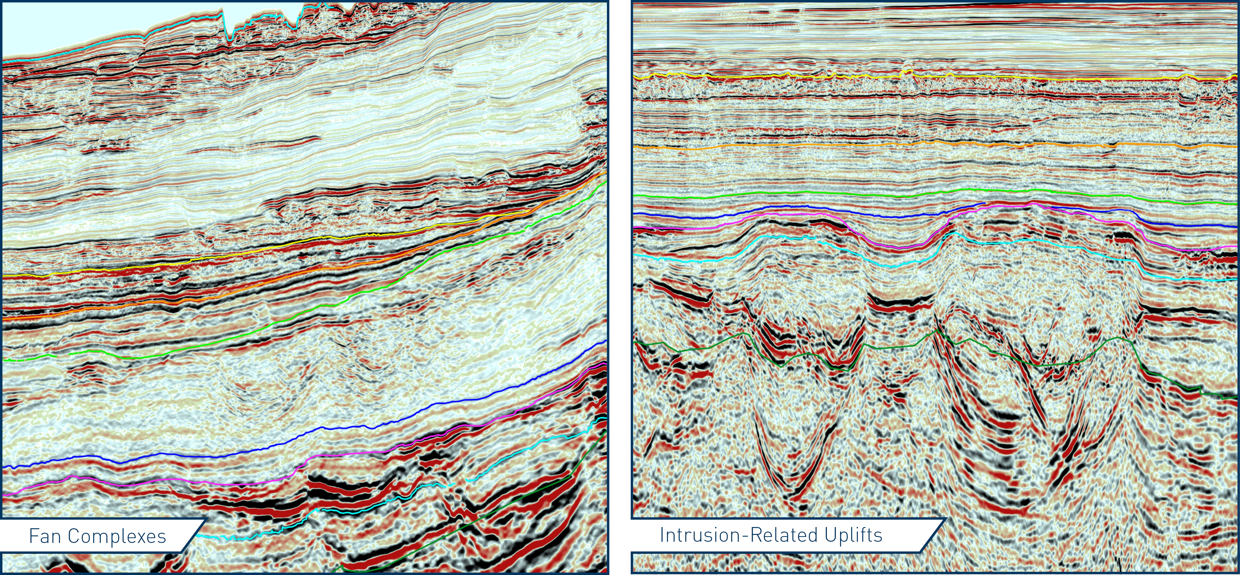
Davie Fracture Zone (DFZ)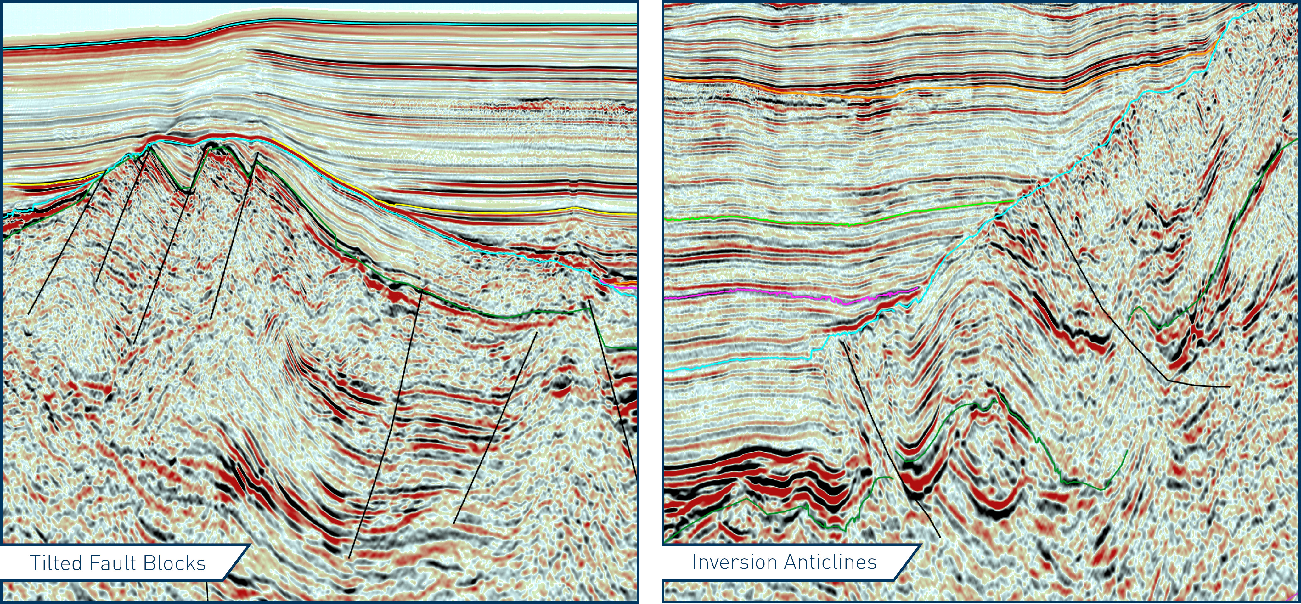
Speak to a Specialist
Interested in a product demo or trial? Let us know your needs and we’ll connect you to the right person or team.
Book a Data Viewing
Want to see the latest seismic data solutions and imaging technologies in your region of interest or for the next license round? Book a data viewing with one of our experts.
Discuss Your Seismic Data Needs
Every need is different and we'd like the opportunity to discuss yours further. Speak to one of our data or geoscience experts to customize seismic solutions specific to your requirements.


