Africa, Mediterranean and the Middle East
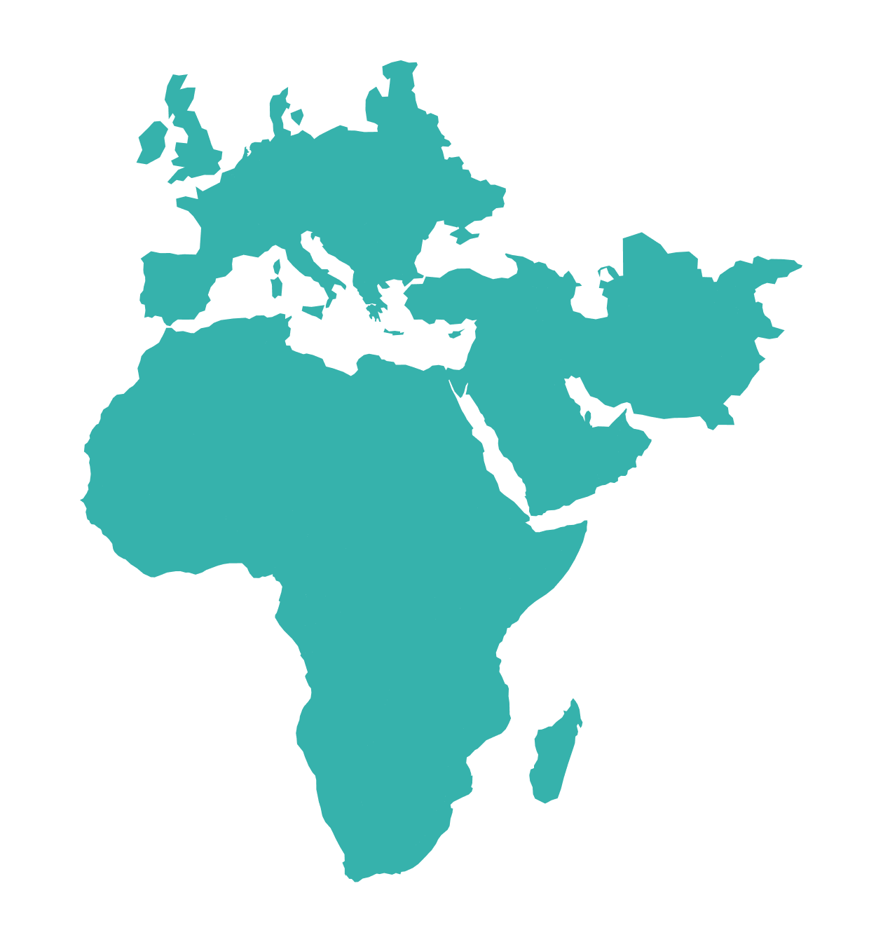
The most extensive multi-client data library in Africa. For decades this constantly-refreshed library has provided industry-leading seismic, interpretation products and services, and geological data. We continue to support countries with petroleum laws and concession terms, license round promotion, and farm-outs. Our extensive regional data coverage, geological knowledge, and ministry and NOC relationships make us the multi-client seismic data company of choice in this region.
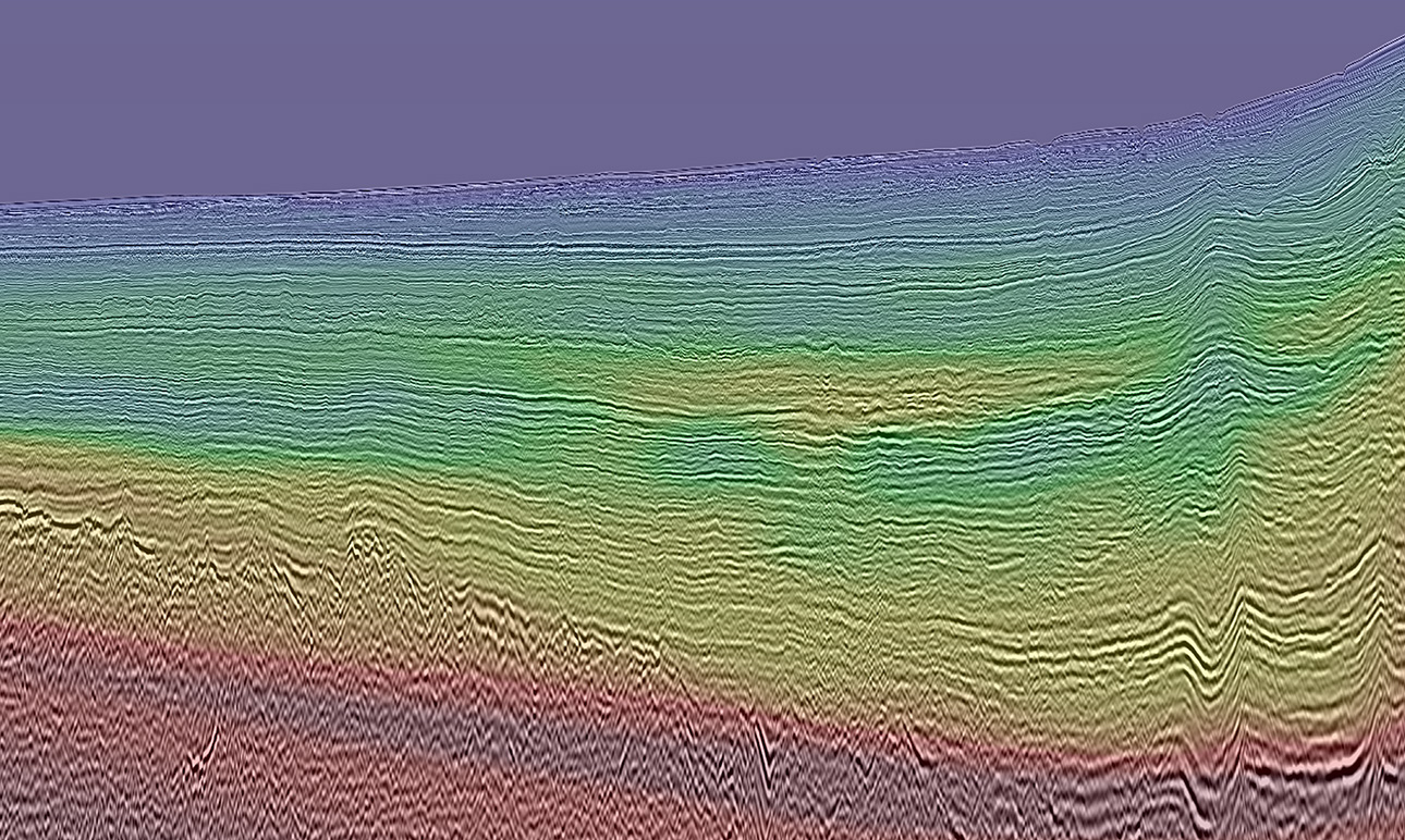
Northwest Africa
2D and 3D Seismic from MSGBC to Liberia with supporting MBSS geochemistry proving a working hydrocarbon system.
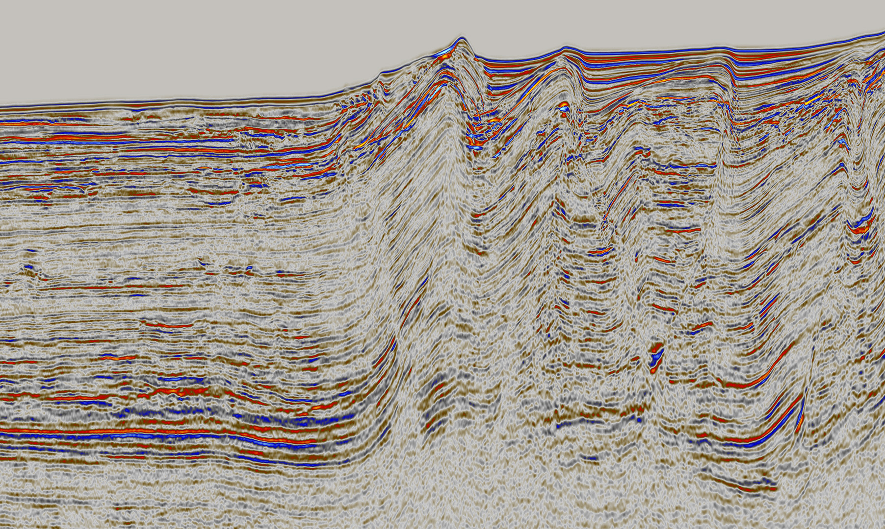
West Africa
Transform Margin
The West African transform margin and Gulf of Guinea stretch from Ivory Coast to Nigeria. Mature developments supported new discoveries.
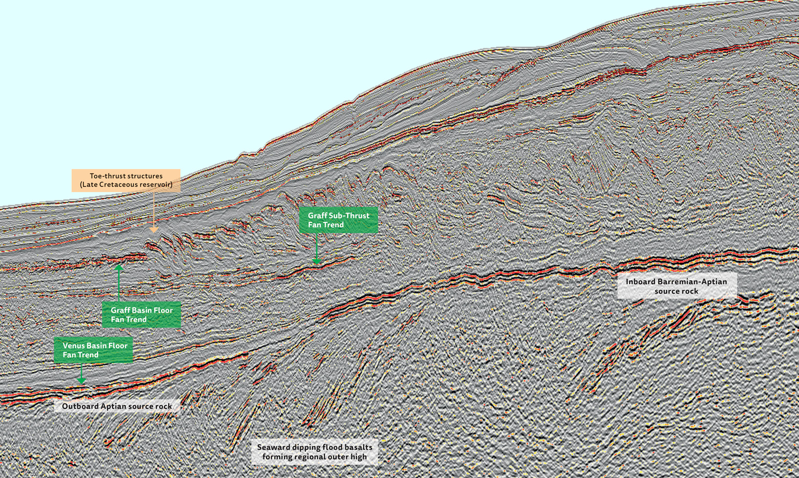
Southwest Africa
The largest and most extensive 2D seismic library with ties to recent discoveries to explore analogous plays.
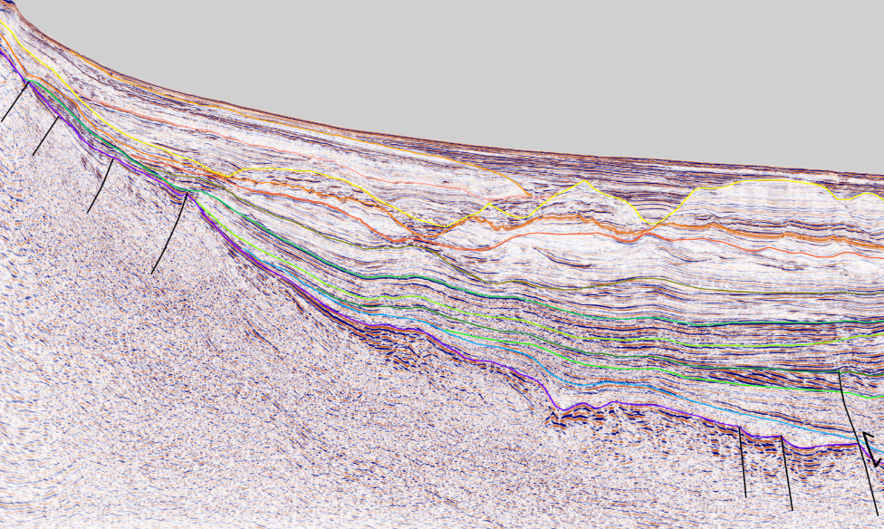
East Africa
Significant 2D and 3D seismic and regional tie lines providing exploration insights into an emerging region.
Data Library
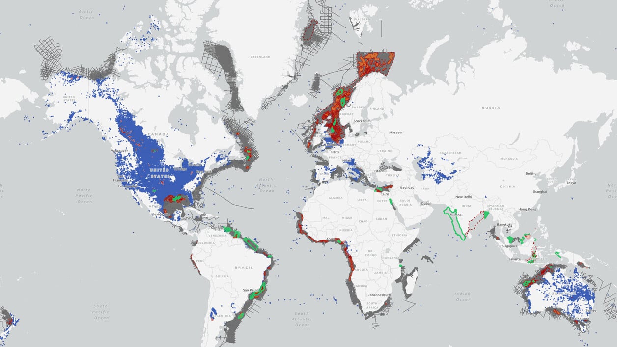
Search our interactive map portal to see the industry-leading subsurface data we offer worldwide. View available data types, projects and deliverables in your areas of interest.
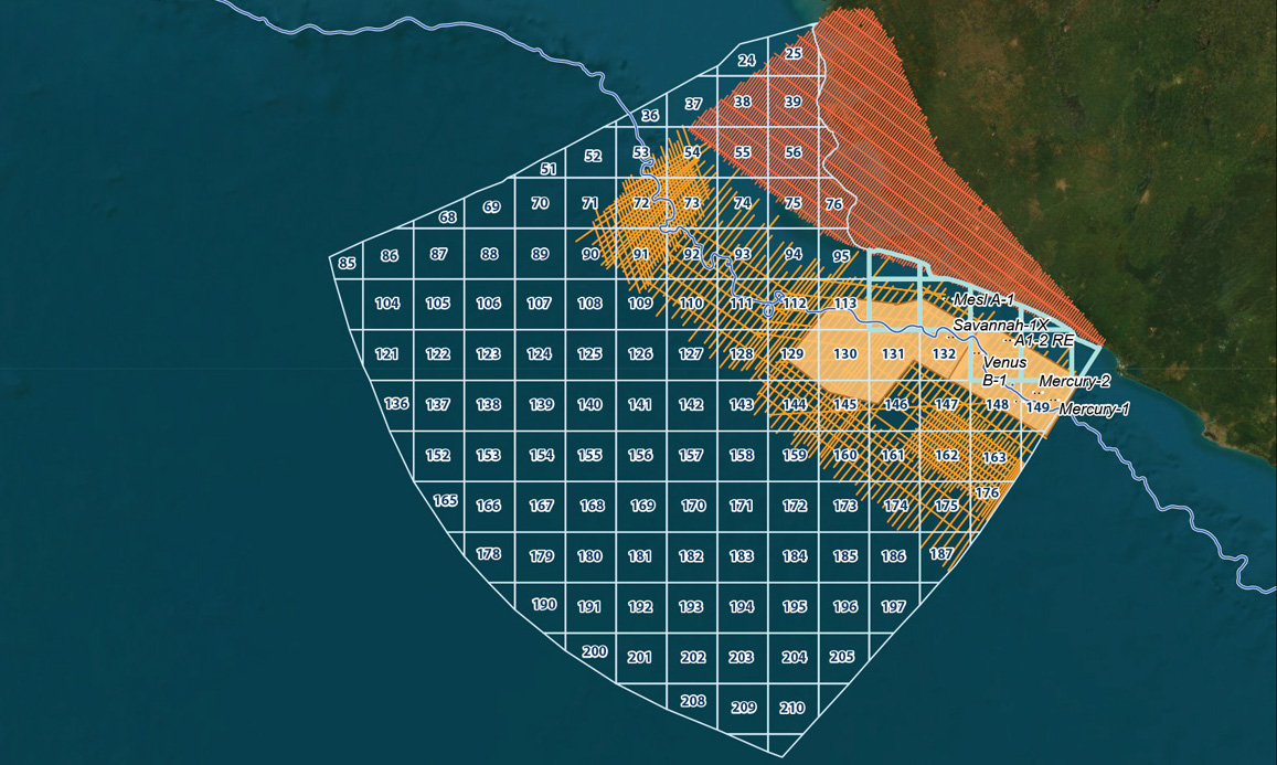
Sierra Leone 5th License Round
With the closure of the 5th offshore Licensing Round on 29 September 2023, the Petroleum Directorate of Sierra Leone (PDSL) is now assessing bids from all the parties that expressed an interest in the area.
In addition, the PDSL has streamlined the petroleum license process, aiming to award within 85 days of application and provide an investment environment to encourage international O&G companies to explore Sierra Leone's offshore waters. Studies of the extensive seismic coverage in the area indicate potential multi-billion barrel prospects, presenting an exceptional exploration opportunity.
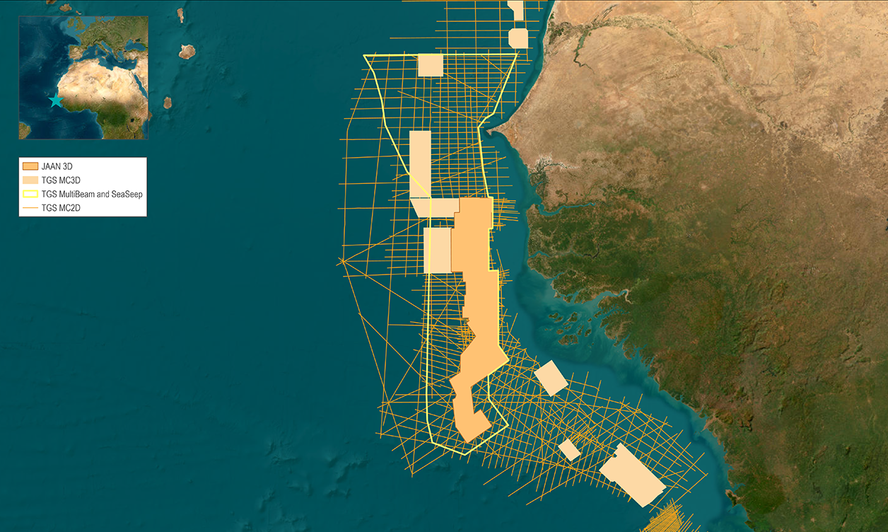
Jaan 3D (Offshore Northwest Africa)
The Jaan 3D project brings together a number of multi-client 3D seismic datasets, enhanced through reprocessing and connected with modern triple-source broadband acquisition in between. The final depth migrated volume covers over 28,300 km2 of full pre-stack merged continuous 3D, spanning the MSGBC basin.
Subsurface Interpretation
For the Geoscientist who needs regional subsurface knowledge, TGS’ multi-disciplinary Geoscience Interpretation group has consistently delivered best-in-class multi-client, basin-wide studies to the industry for over 20 years to reduce the risk, time and cost of the exploration-cycle.
