Seafloor Multiphysics & CSEM
TGS works with partners to provide flexible and efficient multi-physics & CSEM measurements for inspection, exploration, mapping and monitoring.
Advanced Sensor Systems for Comprehensive Data Collection
Integrated complex sensor systems deployed from AUV, ROV, USV and surface vessels can be used to collect rich geophysical, geochemical and geotechnical datasets, for wind and renewables, oil and gas, minerals and defense projects.
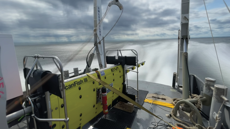
Domain experts in CSEM, magnetics, electrical, and acoustic methods work with subsea operations experts and engineers to design, build and operate complex sensor systems deployed from ROV, AUV, unmanned and manned surface vehicles.
The results are rich multiphysics datasets, which OFG interprets to meet and exceed survey objectives in a safe, efficient, and environmentally sensitive fashion.
- Inspecting pipelines and infrastructure - Non-contact cathodic protection inspection from ROV or AUV platforms
- Seafloor mineral exploration – OFG has participated in 30 surveys on seafloor massive sulfide deposits, collecting acoustic, electric, magnetic and electromagnetic data
- Site surveys and hazard mapping – Acquisition, processing, and interpretation of acoustic and magnetic site survey data, for geotechnical characterization and hazard mapping
- Finding gas hydrates – CSEM data can detect and characterize marine gas hydrates (both a resource and a hazard)
- Defense – OFG ship-signature characterization uses an AUV-mounted self-compensating magnetometer to determine vessel signature at sea, dramatically improving efficiency and safety
- Wind farms & renewables – Supporting projects from pre-planning and installation to post-construction infrastructure inspection
- Environmental monitoring – Environmental baseline mapping, project support and planning

AUV Operations
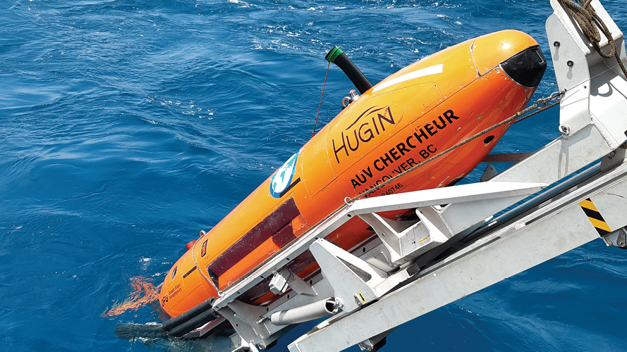
OFG owns, manages, and operates advanced autonomous underwater vehicles independently and through their strategic alliance with DOF Subsea. Their AUVs use state-of-the-art sensors, navigation and terrain-following algorithms.

High-resolution Magnetic Mapping
Access a comprehensive suite of multiphysics technology, including the self-compensating magnetometer for AUV, USV deployment.
Speak to a Specialist
Interested in a product demo or trial? Let us know your needs and we’ll connect you to the right person or team.
Book a Data Viewing
Want to see the latest seismic data solutions and imaging technologies in your region of interest or for the next license round? Book a data viewing with one of our experts.
Discuss Your Seismic Data Needs
Every need is different and we'd like the opportunity to discuss yours further. Speak to one of our data or geoscience experts to customize seismic solutions specific to your requirements.


