Design a Survey
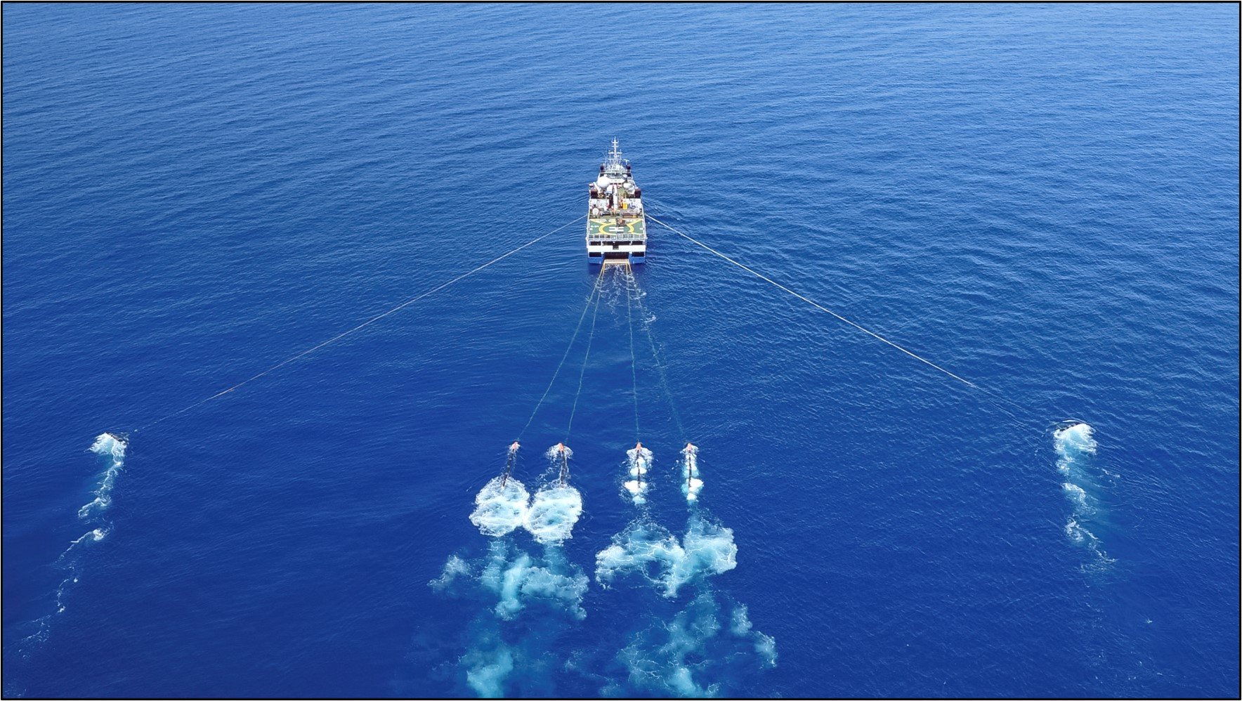
Survey design for 3D and 4D marine seismic surveys is critical to achieve the specific subsurface data objective.
Planning a Marine Seismic Survey Help to Predict Costs and Emissions
The interplay between the earth, the acquisition geometry, the environmental and operating conditions, and the processing and imaging workflow, all contribute to the success of the project and the final seismic results.
One should not overcomplicate modeling. Robust information can be derived from the intelligent use of simple models. Modeling of synthetic seismic data using representative earth models should aim to understand the significance of different acquisition geometry parameters. If real seismic data is available, comparison against the model will add confidence to the decisions made.
- Identify the target geology or the geological features that challenge your ability to image or characterize the subsurface
- Tailor acquisition parameters to record fit-for-purpose data
- Determine resource requirements for data processing and quantitative interpretation
- Calibrate survey costs and value of information
Nucleus+
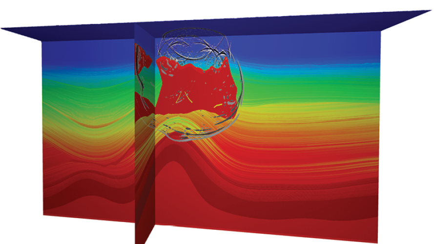
Nucleus+ is the industry's preferred software solution for pre-survey source modeling and elastic synthetic seismic modeling of marine seismic surveys. The package automates many modeling-related tasks and analyses.
Temporal and Spatial Sampling
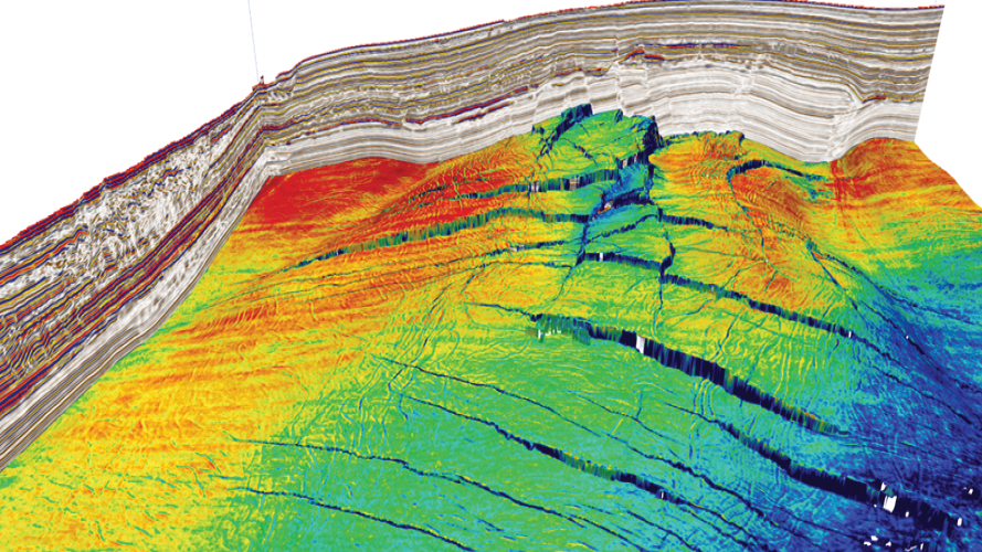
Temporal and spatial sampling considerations determine how the source array configuration of airguns
Azimuth Sampling
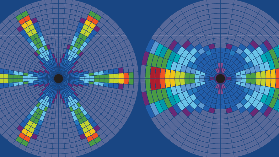
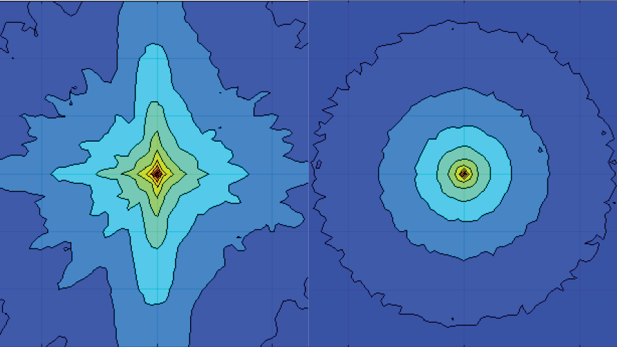
The offset-azimuth coverage necessary for subsurface imaging is explicitly linked to the nature of the depth imaging workflow required.
Environmental Emissions
Modeling of the output and propagation of sound for a survey location is a routine part of modern survey planning, paired with an impact assessment for time and place. The reporting of Greenhouse Gas (GHG) emissions is also increasingly mandated and focuses on CO2 emissions.
Speak to a Specialist
Interested in a product demo or trial? Let us know your needs and we’ll connect you to the right person or team.
Book a Data Viewing
Want to see the latest seismic data solutions and imaging technologies in your region of interest or for the next license round? Book a data viewing with one of our experts.
Discuss Your Seismic Data Needs
Every need is different and we'd like the opportunity to discuss yours further. Speak to one of our data or geoscience experts to customize seismic solutions specific to your requirements.


