
Imaging AnyWare™
Imaging AnyWare™ is a fully integrated enterprise-class software for advanced seismic data processing and imaging

Accelerate Imaging with TGS Imaging AnyWare
Imaging AnyWare is a versatile, user-friendly software with robust capabilities for both cloud and on-premises environments. Used globally across geological basins, it handles extensive datasets effortlessly. Its modern architecture and efficient geophysical algorithms ensure enhanced operational efficiency.
Imaging AnyWare Key Features
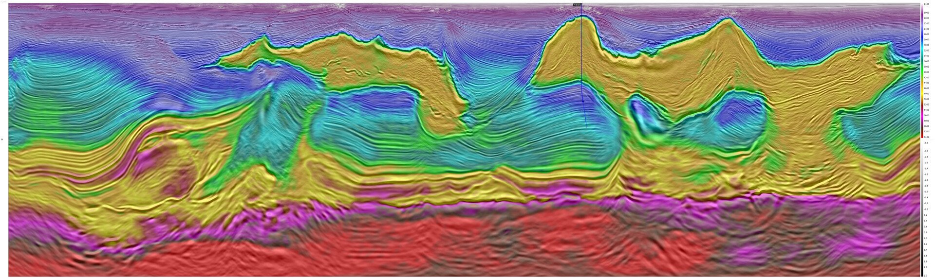
Imaging AnyWare delivers exceptional performance and versatility for advanced geophysical processing and imaging for all acquisition types. Designed to handle complex datasets across various environments, it offers seamless integration with your workflows.
-
High-Performance Parallel Processing
-
Leading Algorithm Solutions
-
Advanced Techniques
-
Intuitive User Experience
High-Performance Parallel Processing
Leading Algorithm Solutions
Extensive collection of quality algorithms and master flow decks with regular updates
- Supports various acquisition types: NAZ, WAZ, OBN, OBC, 2D, XHR and land with multi-component capabilities
- The software supports large datasets and advanced features including rapid in-flow sorting and looping
Advanced Techniques
Advanced techniques in signal processing, imaging and machine learning
- Signal processing: NFH & Directional Designature, Deblend, 3D Deghost, 3D SRME, 3D MWD, 3D Curvelet, Wavefield separation, UDD, DGD, Regularization
(3D/4D/5D), 4D processing - Imaging: Tomography (TTI/VTI), PSDM (Kirchhoff, RTM), FWI, eFWI
- Machine learning: General purpose distributed (parallel) ML capability (training and inference), with SaltNet interpretation & Embedded Python capability
Intuitive User Experience
Intuitive user experience enables teams to collaborate and innovate efficiently
- Tight integration of jobs, datasets, and visualization tools unlocks user efficiency
- Powerful QC tools, including 3D visualization and interactive processing
- The low-code framework and fine granularity of TGS’ Imaging AnyWare allow customers to rapidly develop new solutions and easily deploy them at scale
TGS Imaging AnyWare Software Licensed to Shell in Four-Year Deal
Imaging AnyWare is a versatile, user-friendly software with robust capabilities for both cloud and on-premises environments. Used globally across geological basins, it handles extensive datasets effortlessly. Its modern architecture and efficient geophysical algorithms ensure enhanced operational efficiency.

Speak to a Specialist
Interested in a product demo or trial? Let us know your needs and we’ll connect you to the right person or team.
Book a Data Viewing
Want to see the latest seismic data solutions and imaging technologies in your region of interest or for the next license round? Book a data viewing with one of our experts.
Discuss Your Seismic Data Needs
Every need is different and we'd like the opportunity to discuss yours further. Speak to one of our data or geoscience experts to customize seismic solutions specific to your requirements.