India
Why India?
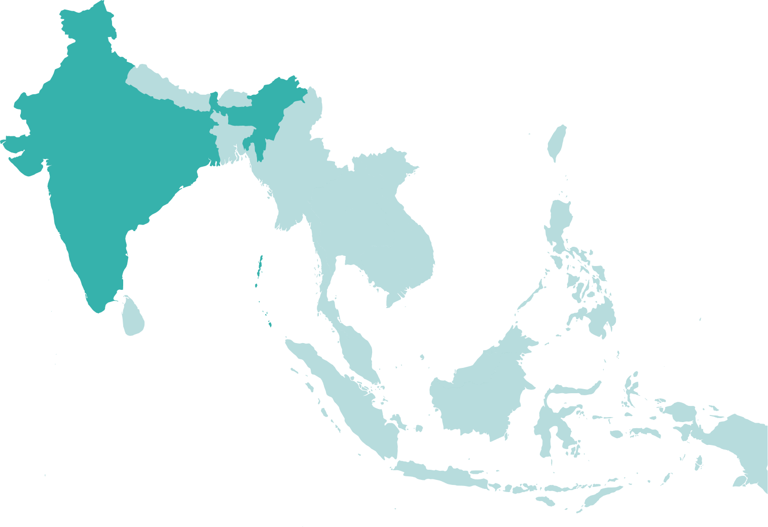
India is now the third-largest energy consumer in the world and the fourth-largest importer of liquefied natural gas (LNG). Now India's government has set a target to raise the energy supply share of natural gas from the current 6.7% to 15% by 2030.
With significant estimated reserves of crude oil and natural gas and a government with a stated strategy to increase domestic energy production, offshore India presents excellent opportunities for E&P companies to invest in exploration and production, collaborate with the Indian government and contribute to the country’s energy goals.
TGS provides high-quality data and subsurface insight to support the Indian energy industry in achieving its energy affordability, reliability, and environmental sustainability objectives.
Data Library
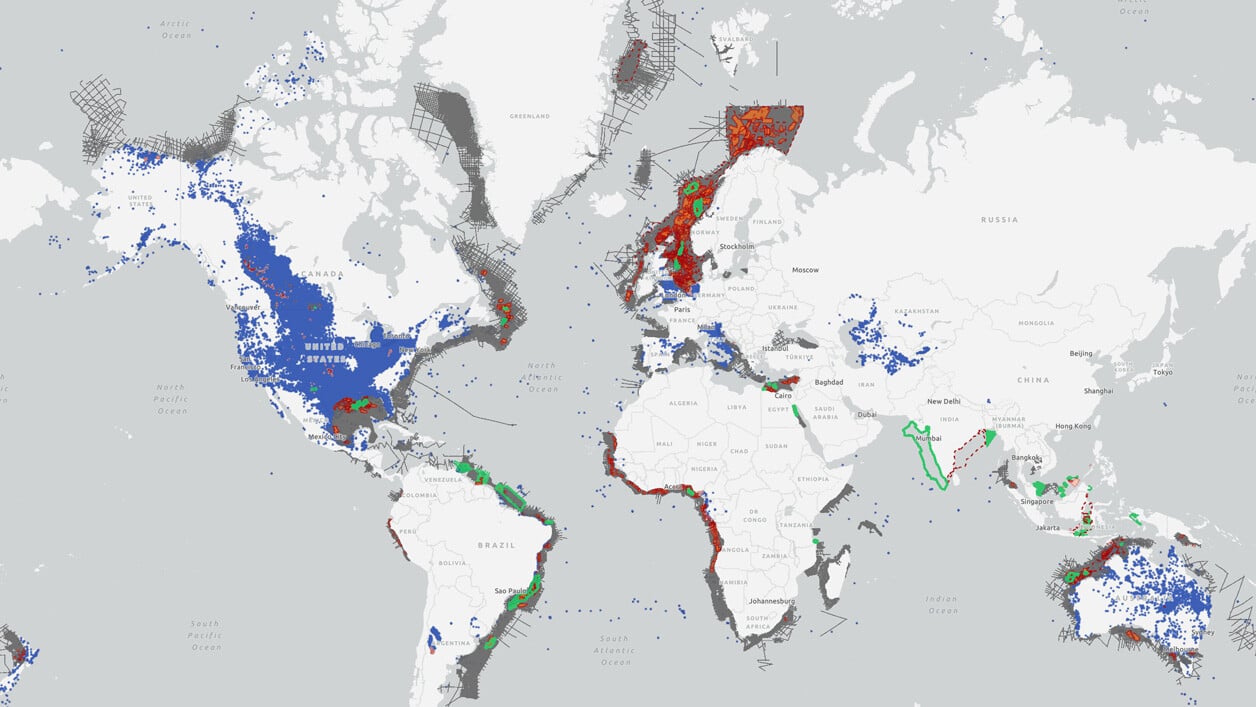
Search our interactive map portal to see the industry-leading subsurface data we offer in India. View available data types, projects and deliverables in your areas of interest.
Our Data
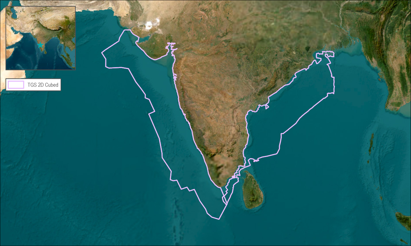
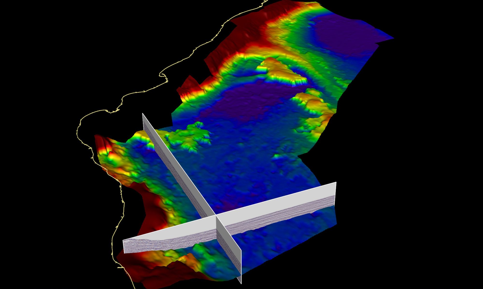
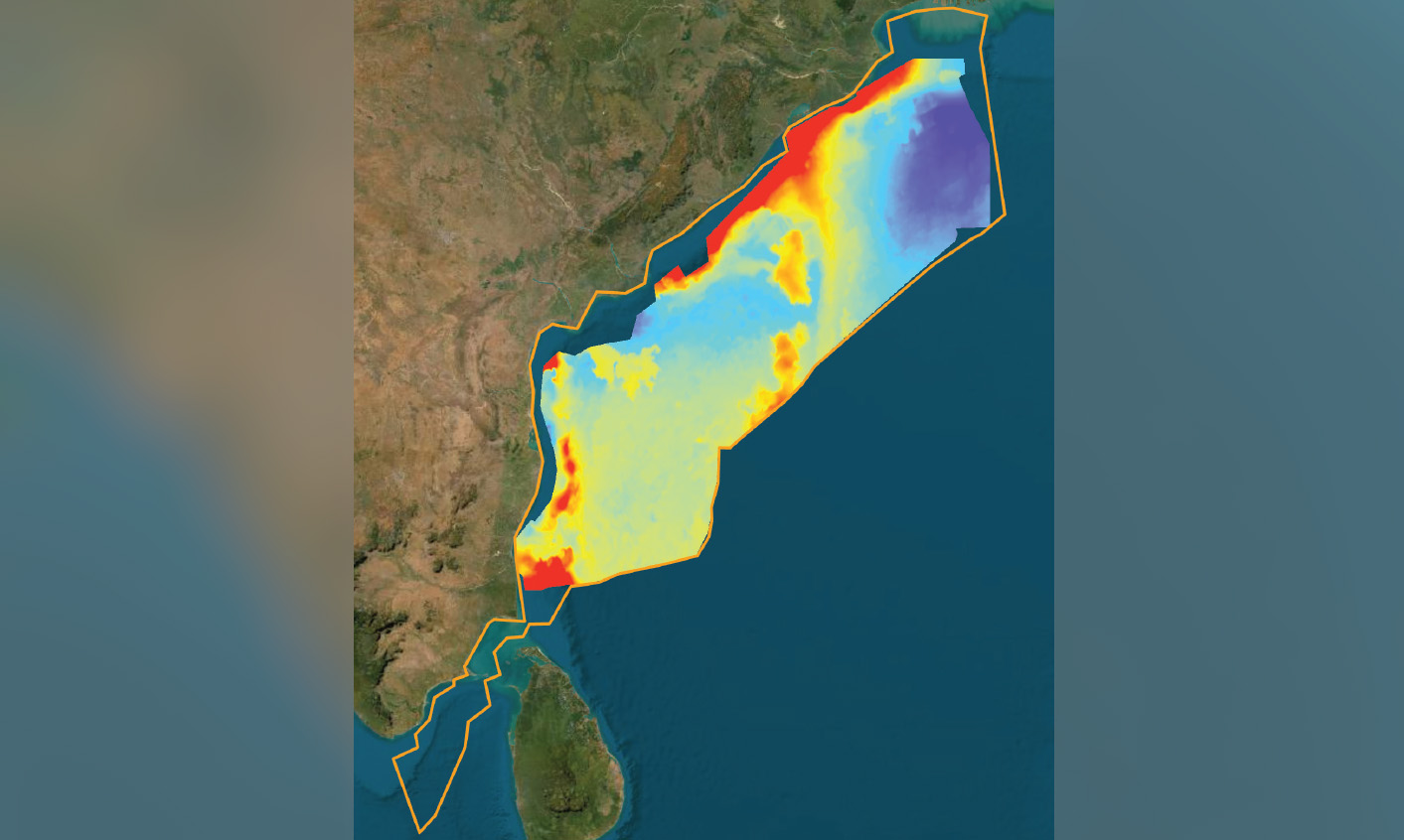
The TGS East Coast India 2D-cubed project encompasses over 250,000 line kilometers of existing 2D data across over half a million square kilometers offshore India's east coast. This dataset is unrivaled in its coverage and utilizes TGS' proprietary 2D-cubed technology to create a single conformable, easily accessible dataset designed to encourage and assist exploration endeavors offshore India.
The dataset, the latest TGS initiative to provide seismic to enhance exploration potential across Asia, offers coverage of the prospective Krishna-Godavari Basin, Cauvery Basin, and West Bengal Fan. It will allow local and international companies to develop structural and geological models in their pre-study evaluation process to increase confidence in license-round decision-making processes and support further exploration.
The West Coast India seismic processing project complements the India East Coast 2D-cubed project from 2022. The project encompasses all available 2D seismic data across over three-quarters of a million square kilometers offshore India's west coast. As with the East Coast, TGS will employ its proprietary 2D-cubed technology to offer one conformable, pseudo-3D dataset created to enable and enhance exploration activity offshore India. Final products will be ready in Q3 2024.
Exploration Context
The east coast of India's passive margin developed following the disintegration of eastern Gondwanaland, with east India separating from Antarctica in the Early Cretaceous. Intrinsic differences between various subcrustal blocks along the rift geomorphologically segmented it into several pericratonic rift basins. The main ones mapped include the Cauvery, Krishna-Godavari, Mahanadi, and Bengal basins, all with river systems feeding into them from the hinterland.
The graben terminations from onshore, crustal thickness and Moho topography place the COB nearly parallel to the coastline between 100 and 200 km offshore.
During the drift phase, mantle sources have left their footprint over the Bay of Bengal oceanic crust in the form of linear volcanic ridges, namely the 85° E. Northward drift of India culminated in the collision with Eurasia and the Himalaya Orogeny starting during the Oligo-Miocene. The significant increase in sediment input from the Himalayas accelerated the Bay of Bengal burial with >3.5km over much of the region and exceeding 16km under the Bengal Delta.
With an improved understanding of the deep offshore following the recent successes in South America and southern Africa and having all the ingredients, the interplay of river systems, varied crustal topography, and confirmed hydrocarbons, this offshore region deserves a closer look.
Speak to a Specialist
Interested in a product demo or trial? Let us know your needs and we’ll connect you to the right person or team.
Book a Data Viewing
Want to see the latest seismic data solutions and imaging technologies in your region of interest or for the next license round? Book a data viewing with one of our experts.
Discuss Your Seismic Data Needs
Every need is different and we'd like the opportunity to discuss yours further. Speak to one of our data or geoscience experts to customize seismic solutions specific to your requirements.

