Play Fairway Analysis
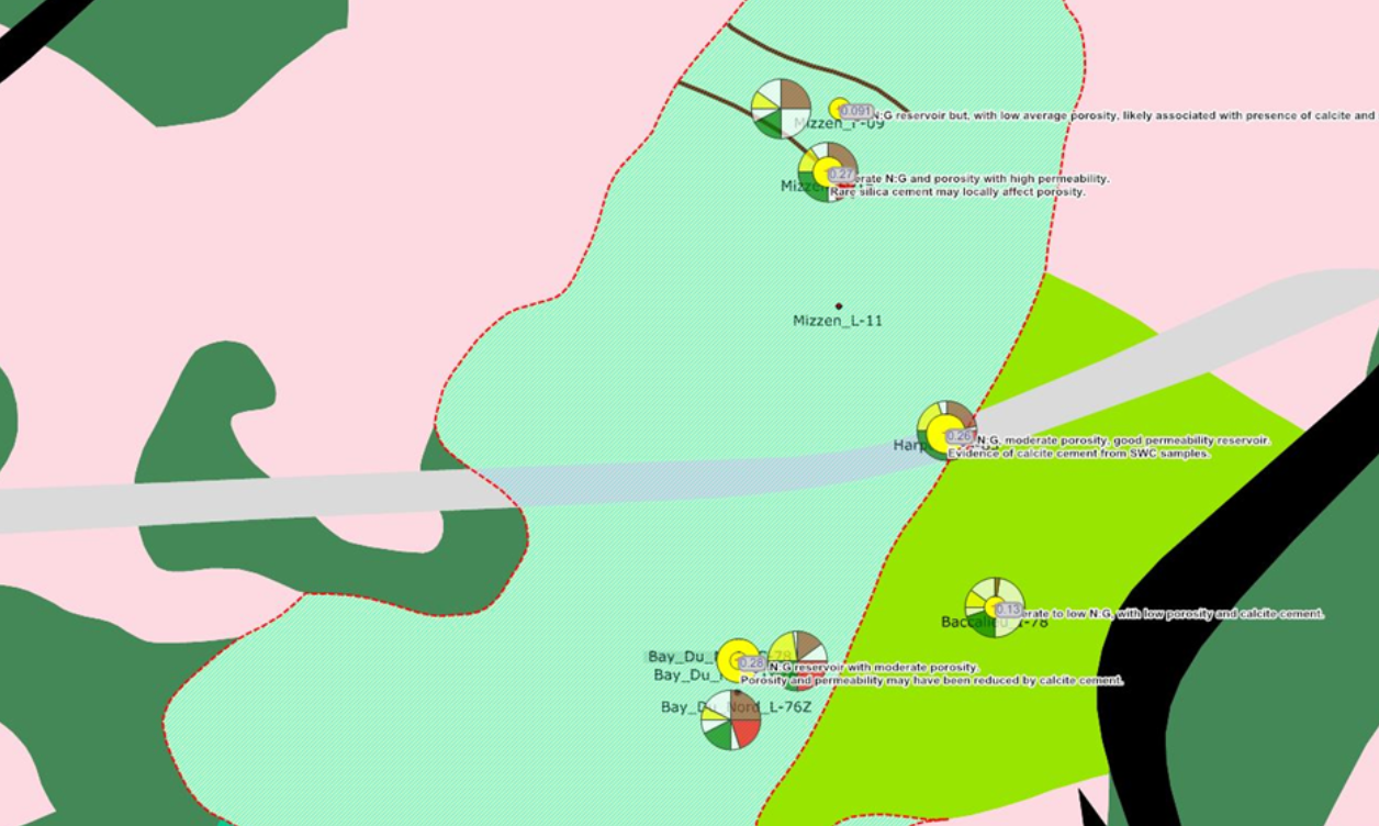
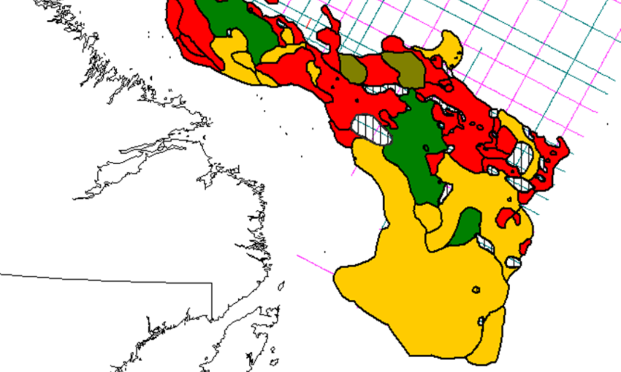
Identifying the play fairway where reservoir, charge and seal coincide is a key step ahead of detailed prospectivity mapping. Play based exploration can be used to focus efforts on areas believed to be most prospective. Analysis of the well data allows the development of chronostratigraphic framework and identification of the play elements. Available well and seismic data are then interpreted and incorporated with existing knowledge to create relevant GDE, CRS and structural maps.
Ensuring Accurate Petroleum System Mapping for Increased Certainty
Three elements define a play fairway; potential reservoir facies, a probable caprock and the presence nearby of a hydrocarbon source.
The results of Play Fairway Analysis provide the foundation for an exploration campaign within a basin.
Analysis Inputs
The inputs to a Play Fairway Analysis come from seismic and well data. In an under-explored basin, limited
Each risk element, reservoir, source
- Seismic Facies Analysis
- Common Risk Segment Mapping
- Post Well Analysis


Play Fairway Analysis Experience
We have completed Play Fairway Analyses across basins in:
- Brazil
- East Canada
- UK Atlantic Margin
In addition, we have completed a Dry Hole Analysis in Norway to define the reasons for the failure of dry exploration wells.

